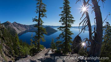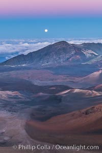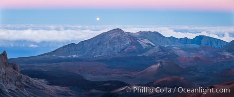
Panoramic photo of Crater Lake National Park.
Location: Crater Lake National Park, Oregon
Image ID: 28675
Panorama dimensions: 3271 x 10669
Location: Crater Lake National Park, Oregon
Image ID: 28675
Panorama dimensions: 3271 x 10669
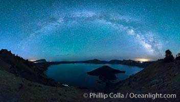
Milky Way and stars over Crater Lake at night. Panorama of Crater Lake and Wizard Island at night, Crater Lake National Park.
Location: Crater Lake National Park, Oregon
Image ID: 28641
Panorama dimensions: 7650 x 13389
Location: Crater Lake National Park, Oregon
Image ID: 28641
Panorama dimensions: 7650 x 13389
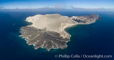
San Benedicto Island and Barcena crater, aerial photo, Revillagigedos Islands, Mexico.
Location: San Benedicto Island (Islas Revillagigedos), Baja California, Mexico
Image ID: 32914
Panorama dimensions: 4703 x 8937
Location: San Benedicto Island (Islas Revillagigedos), Baja California, Mexico
Image ID: 32914
Panorama dimensions: 4703 x 8937

Self portrait at sunrise, panorama of Crater Lake. Crater Lake is the six-mile wide lake inside the collapsed caldera of volcanic Mount Mazama. Crater Lake is the deepest lake in the United States and the seventh-deepest in the world. Its maximum recorded depth is 1996 feet (608m). It lies at an altitude of 6178 feet (1880m).
Location: Crater Lake National Park, Oregon
Image ID: 19130
Panorama dimensions: 2726 x 9677
Location: Crater Lake National Park, Oregon
Image ID: 19130
Panorama dimensions: 2726 x 9677
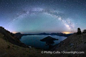
Milky Way and stars over Crater Lake at night. Panorama of Crater Lake and Wizard Island at night, Crater Lake National Park.
Location: Crater Lake National Park, Oregon
Image ID: 28640
Panorama dimensions: 5244 x 9702
Location: Crater Lake National Park, Oregon
Image ID: 28640
Panorama dimensions: 5244 x 9702
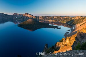
Crater Lake and Wizard Island at sunrise.
Location: Crater Lake National Park, Oregon
Image ID: 28669
Location: Crater Lake National Park, Oregon
Image ID: 28669
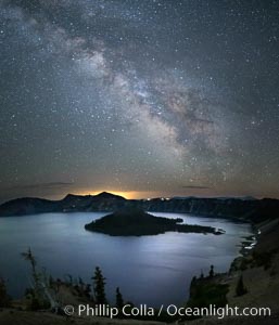
Milky Way and stars over Crater Lake at night. Panorama of Crater Lake and Wizard Island at night, Crater Lake National Park.
Location: Crater Lake National Park, Oregon
Image ID: 28643
Location: Crater Lake National Park, Oregon
Image ID: 28643
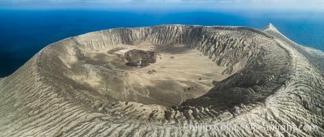
Barcena volcano crater, highest point on San Benedicto Island, Revillagigedos, Mexico.
Location: San Benedicto Island (Islas Revillagigedos), Baja California, Mexico
Image ID: 32922
Panorama dimensions: 3742 x 8857
Location: San Benedicto Island (Islas Revillagigedos), Baja California, Mexico
Image ID: 32922
Panorama dimensions: 3742 x 8857
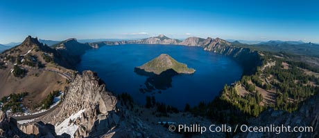
Panorama of Crater Lake from Watchman Lookout Station, panoramic picture. The Watchman Lookout Station No. 168 is one of two fire lookout towers in Crater Lake National Park in southern Oregon. For many years, National Park Service personnel used the lookout to watch for wildfires during the summer months. It is also a popular hiking destination because it offers an excellent view of Crater Lake and the surrounding area.
Location: Crater Lake National Park, Oregon
Image ID: 28633
Panorama dimensions: 4885 x 11229
Location: Crater Lake National Park, Oregon
Image ID: 28633
Panorama dimensions: 4885 x 11229
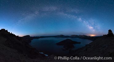
Milky Way and stars over Crater Lake at night. Panorama of Crater Lake and Wizard Island at night, Crater Lake National Park.
Location: Crater Lake National Park, Oregon
Image ID: 28635
Panorama dimensions: 6635 x 12270
Location: Crater Lake National Park, Oregon
Image ID: 28635
Panorama dimensions: 6635 x 12270
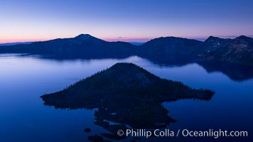
Crater Lake and Wizard Island at sunrise.
Location: Crater Lake National Park, Oregon
Image ID: 28668
Location: Crater Lake National Park, Oregon
Image ID: 28668
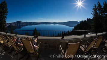
View from Crater Lake Lodge, Crater Lake National Park.
Location: Crater Lake National Park, Oregon
Image ID: 28673
Panorama dimensions: 3176 x 5646
Location: Crater Lake National Park, Oregon
Image ID: 28673
Panorama dimensions: 3176 x 5646
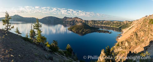
Crater Lake panoramic photograph. Panorama picture of Crater Lake National Park.
Location: Crater Lake National Park, Oregon
Image ID: 28663
Panorama dimensions: 4169 x 10222
Location: Crater Lake National Park, Oregon
Image ID: 28663
Panorama dimensions: 4169 x 10222

Panorama of Mount St. Helens, viewed from Johnston Ridge.
Location: Mount St. Helens National Volcanic Monument, Washington
Image ID: 19118
Panorama dimensions: 3058 x 14970
Location: Mount St. Helens National Volcanic Monument, Washington
Image ID: 19118
Panorama dimensions: 3058 x 14970
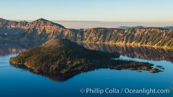
Crater Lake and Wizard Island at sunrise.
Location: Crater Lake National Park, Oregon
Image ID: 28670
Location: Crater Lake National Park, Oregon
Image ID: 28670
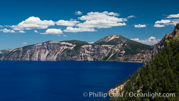
Crater Lake National Park.
Location: Crater Lake National Park, Oregon
Image ID: 28671
Panorama dimensions: 4140 x 7360
Location: Crater Lake National Park, Oregon
Image ID: 28671
Panorama dimensions: 4140 x 7360
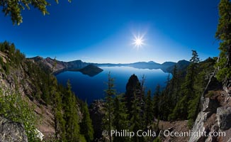
Crater Lake panoramic photograph. Panorama picture of Crater Lake National Park.
Location: Crater Lake National Park, Oregon
Image ID: 28648
Panorama dimensions: 6893 x 11250
Location: Crater Lake National Park, Oregon
Image ID: 28648
Panorama dimensions: 6893 x 11250

Panoramic picture of Crater Lake at dawn, sunrise, morning, panorama of Crater Lake National Park.
Location: Crater Lake National Park, Oregon
Image ID: 28654
Panorama dimensions: 5203 x 16408
Location: Crater Lake National Park, Oregon
Image ID: 28654
Panorama dimensions: 5203 x 16408
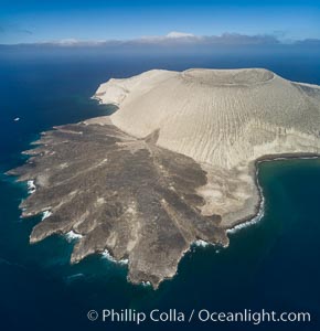
San Benedicto Island and Barcena crater, aerial photo, Revillagigedos Islands, Mexico.
Location: San Benedicto Island (Islas Revillagigedos), Baja California, Mexico
Image ID: 32915
Location: San Benedicto Island (Islas Revillagigedos), Baja California, Mexico
Image ID: 32915
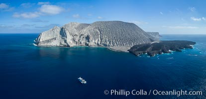
San Benedicto Island and Barcena crater, aerial photo, Revillagigedos Islands, Mexico.
Location: San Benedicto Island (Islas Revillagigedos), Baja California, Mexico
Image ID: 32916
Panorama dimensions: 4087 x 8470
Location: San Benedicto Island (Islas Revillagigedos), Baja California, Mexico
Image ID: 32916
Panorama dimensions: 4087 x 8470
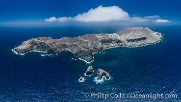
San Benedicto Island and Barcena crater, aerial photo, Revillagigedos Islands, Mexico.
Location: San Benedicto Island (Islas Revillagigedos), Baja California, Mexico
Image ID: 32917
Panorama dimensions: 5572 x 9877
Location: San Benedicto Island (Islas Revillagigedos), Baja California, Mexico
Image ID: 32917
Panorama dimensions: 5572 x 9877
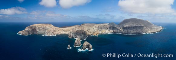
San Benedicto Island and Barcena crater, aerial photo, Revillagigedos Islands, Mexico.
Location: San Benedicto Island (Islas Revillagigedos), Baja California, Mexico
Image ID: 32919
Panorama dimensions: 3239 x 9424
Location: San Benedicto Island (Islas Revillagigedos), Baja California, Mexico
Image ID: 32919
Panorama dimensions: 3239 x 9424
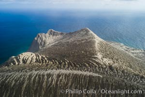
Barcena volcano crater, highest point on San Benedicto Island, Revillagigedos, Mexico.
Location: San Benedicto Island (Islas Revillagigedos), Baja California, Mexico
Image ID: 32920
Location: San Benedicto Island (Islas Revillagigedos), Baja California, Mexico
Image ID: 32920
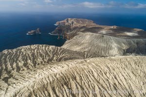
Barcena volcano crater, highest point on San Benedicto Island, Revillagigedos, Mexico.
Location: San Benedicto Island (Islas Revillagigedos), Baja California, Mexico
Image ID: 32921
Location: San Benedicto Island (Islas Revillagigedos), Baja California, Mexico
Image ID: 32921
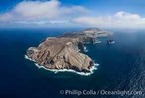
San Benedicto Island and Barcena crater, aerial photo, Revillagigedos Islands, Mexico.
Location: San Benedicto Island (Islas Revillagigedos), Baja California, Mexico
Image ID: 32938
Panorama dimensions: 5311 x 7834
Location: San Benedicto Island (Islas Revillagigedos), Baja California, Mexico
Image ID: 32938
Panorama dimensions: 5311 x 7834

Panorama of Uhebehebe Crater in Death Valley.
Location: Uhebehebe Crater, Death Valley National Park, California
Image ID: 25306
Panorama dimensions: 2398 x 8020
Location: Uhebehebe Crater, Death Valley National Park, California
Image ID: 25306
Panorama dimensions: 2398 x 8020
