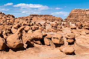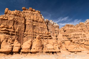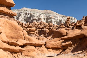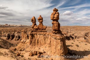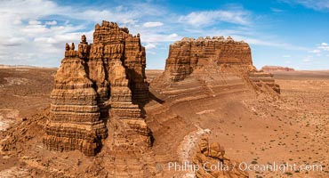
Molly's Castle, aerial view, Goblin Valley State Park. Curtis Formation whiteish caprock is on top, with reddish Entrada Sandstone below, both of Jurassic era. Molly's castle lies in the San Rafael desert near Goblin Valley, and drains into the Colorado River watershed. Aerial panoramic photograph.
Location: Goblin Valley State Park, Utah
Image ID: 37950
Location: Goblin Valley State Park, Utah
Image ID: 37950
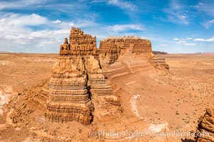
Molly's Castle, aerial view, Goblin Valley State Park.
Location: Mollys Castle, Goblin Valley State Park, Utah
Image ID: 38016
Location: Mollys Castle, Goblin Valley State Park, Utah
Image ID: 38016
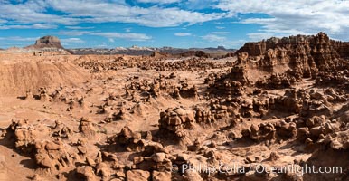
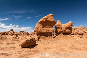
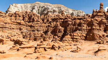
Hoodoos in Goblin Valley State Park, aerial panorama. The "goblins" are technically known as hoodoos, formed through the gradual erosion of Entrada sandstone deposited 170 millions years ago. Aerial panoramic photograph.
Location: Goblin Valley State Park, Utah
Image ID: 37957
Location: Goblin Valley State Park, Utah
Image ID: 37957
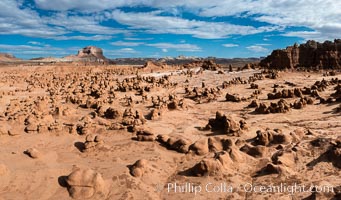
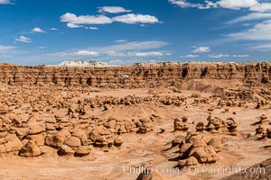
Hoodoos in Goblin Valley State Park. The "goblins" are technically known as hoodoos, formed through the gradual erosion of Entrada sandstone deposited 170 millions years ago.
Location: Goblin Valley State Park, Utah
Image ID: 38066
Location: Goblin Valley State Park, Utah
Image ID: 38066
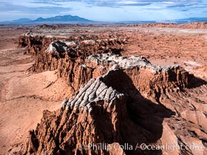
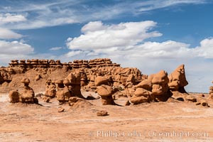
White Cap Mesa overlooking Goblin Valley State Park, Utah.
Location: Goblin Valley State Park, Utah
Image ID: 38182
Location: Goblin Valley State Park, Utah
Image ID: 38182
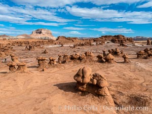
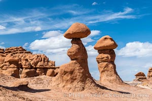
Hoodoos in Goblin Valley State Park. The "goblins" are technically known as hoodoos, formed through the gradual erosion of Entrada sandstone deposited 170 millions years ago.
Location: Goblin Valley State Park, Utah
Image ID: 38183
Location: Goblin Valley State Park, Utah
Image ID: 38183
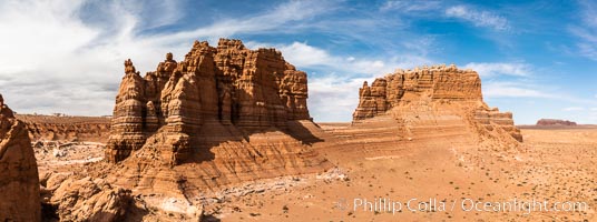
Molly's Castle, aerial view, Goblin Valley State Park.
Location: Goblin Valley State Park, Utah
Image ID: 38049
Panorama dimensions: 3346 x 8974
Location: Goblin Valley State Park, Utah
Image ID: 38049
Panorama dimensions: 3346 x 8974
