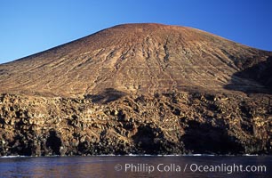
Red Cinder Cone and erodes sea cliffs overlook a fur seal colony and excellent dive site, west side of Guadalupe Island (Isla Guadalupe), Mexico. Goat trails can be seen near the base of the cinder cone.
Location: Guadalupe Island (Isla Guadalupe), Baja California, Mexico
Image ID: 09752
Location: Guadalupe Island (Isla Guadalupe), Baja California, Mexico
Image ID: 09752
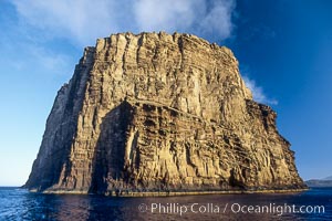
Isla Afuera is a volcanic plug towering 700 feet above the ocean near the south end of Guadalupe Island. Its steep cliffs extend underwater hundreds of feet offering spectacular wall diving and submarine topography.
Location: Guadalupe Island (Isla Guadalupe), Baja California, Mexico
Image ID: 09753
Location: Guadalupe Island (Isla Guadalupe), Baja California, Mexico
Image ID: 09753
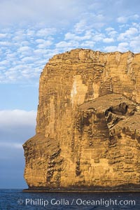
Isla Afuera is a volcanic plug towering 700 feet above the ocean near the south end of Guadalupe Island. Its steep cliffs extend underwater hundreds of feet offering spectacular wall diving and submarine topography.
Location: Guadalupe Island (Isla Guadalupe), Baja California, Mexico
Image ID: 09754
Location: Guadalupe Island (Isla Guadalupe), Baja California, Mexico
Image ID: 09754
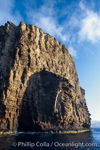
Isla Afuera is a volcanic plug towering 700 feet above the ocean near the south end of Guadalupe Island. Its steep cliffs extend underwater hundreds of feet offering spectacular wall diving and submarine topography.
Location: Guadalupe Island (Isla Guadalupe), Baja California, Mexico
Image ID: 09755
Location: Guadalupe Island (Isla Guadalupe), Baja California, Mexico
Image ID: 09755
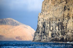
El Moro, a huge volcanic headland at the south end of Guadalupe Island, is seen here partially obscuring the more distant Isla Adentro. Daybreak.
Location: Guadalupe Island (Isla Guadalupe), Baja California, Mexico
Image ID: 09756
Location: Guadalupe Island (Isla Guadalupe), Baja California, Mexico
Image ID: 09756
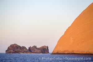
Isla Adentro (right) and Church Rock (partially obscured), sunrise.
Location: Guadalupe Island (Isla Guadalupe), Baja California, Mexico
Image ID: 09757
Location: Guadalupe Island (Isla Guadalupe), Baja California, Mexico
Image ID: 09757
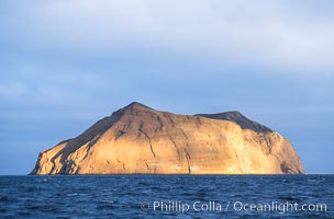
Isla Adentro in dramatic early morning light.
Location: Guadalupe Island (Isla Guadalupe), Baja California, Mexico
Image ID: 09758
Location: Guadalupe Island (Isla Guadalupe), Baja California, Mexico
Image ID: 09758
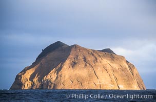
Isla Adentro in dramatic early morning light.
Location: Guadalupe Island (Isla Guadalupe), Baja California, Mexico
Image ID: 09759
Location: Guadalupe Island (Isla Guadalupe), Baja California, Mexico
Image ID: 09759
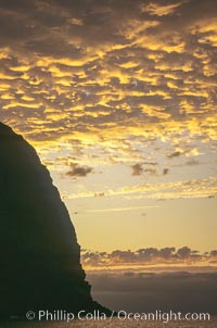
Clouds at sunset, rich warm colors and patterns.
Location: Guadalupe Island (Isla Guadalupe), Baja California, Mexico
Image ID: 18514
Location: Guadalupe Island (Isla Guadalupe), Baja California, Mexico
Image ID: 18514