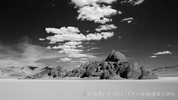
The Grandstand, standing above dried mud flats, on the Racetrack Playa in Death Valley.
Location: Racetrack Playa, Death Valley National Park, California
Image ID: 25318
Location: Racetrack Playa, Death Valley National Park, California
Image ID: 25318
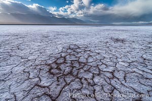
Erosion in the salt patterns of Badwater Playa, Death Valley National Park.
Location: Badwater, Death Valley National Park, California
Image ID: 30472
Location: Badwater, Death Valley National Park, California
Image ID: 30472
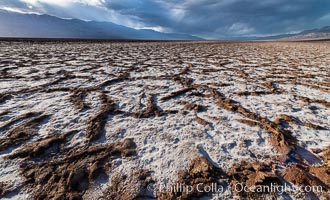
Erosion in the salt patterns of Badwater Playa, Death Valley National Park.
Location: Badwater, Death Valley National Park, California
Image ID: 30473
Location: Badwater, Death Valley National Park, California
Image ID: 30473
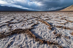
Erosion in the salt patterns of Badwater Playa, Death Valley National Park.
Location: Badwater, Death Valley National Park, California
Image ID: 30474
Location: Badwater, Death Valley National Park, California
Image ID: 30474
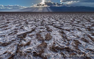
Erosion in the salt patterns of Badwater Playa, Death Valley National Park.
Location: Badwater, Death Valley National Park, California
Image ID: 30475
Location: Badwater, Death Valley National Park, California
Image ID: 30475

Dante's View, Death Valley National Park. Dante's View is a viewpoint terrace at 1,669 m (5,476 ft) height on the north side of Coffin Peak along the crest of the Black Mountains overlooking Death Valley.
Location: Dante's View, Death Valley National Park, California
Image ID: 30471
Panorama dimensions: 7001 x 21385
Location: Dante's View, Death Valley National Park, California
Image ID: 30471
Panorama dimensions: 7001 x 21385
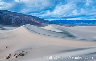
Mesquite Dunes at sunrise, dawn, clouds and morning sky, sand dunes.
Location: Mesquite Dunes, Death Valley National Park, California
Image ID: 30476
Location: Mesquite Dunes, Death Valley National Park, California
Image ID: 30476
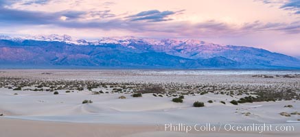
Mesquite Dunes at sunrise, dawn, clouds and morning sky, sand dunes.
Location: Mesquite Dunes, Death Valley National Park, California
Image ID: 30477
Location: Mesquite Dunes, Death Valley National Park, California
Image ID: 30477
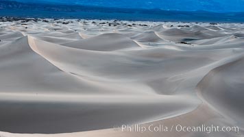
Mesquite Dunes at sunrise, dawn, clouds and morning sky, sand dunes.
Location: Mesquite Dunes, Death Valley National Park, California
Image ID: 30478
Location: Mesquite Dunes, Death Valley National Park, California
Image ID: 30478
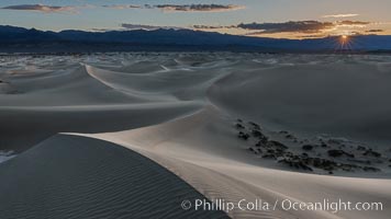
Mesquite Dunes at sunrise, dawn, clouds and morning sky, sand dunes.
Location: Mesquite Dunes, Death Valley National Park, California
Image ID: 30479
Location: Mesquite Dunes, Death Valley National Park, California
Image ID: 30479
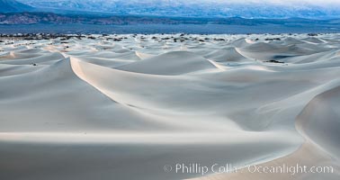
Mesquite Dunes at sunrise, dawn, clouds and morning sky, sand dunes.
Location: Mesquite Dunes, Death Valley National Park, California
Image ID: 30480
Location: Mesquite Dunes, Death Valley National Park, California
Image ID: 30480
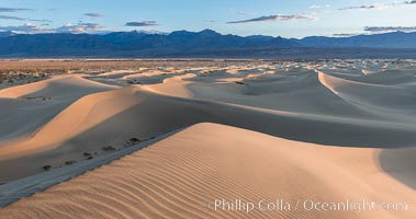
Mesquite Dunes at sunrise, dawn, clouds and morning sky, sand dunes.
Location: Mesquite Dunes, Death Valley National Park, California
Image ID: 30481
Location: Mesquite Dunes, Death Valley National Park, California
Image ID: 30481
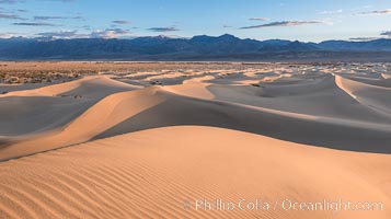
Mesquite Dunes at sunrise, dawn, clouds and morning sky, sand dunes.
Location: Mesquite Dunes, Death Valley National Park, California
Image ID: 30482
Location: Mesquite Dunes, Death Valley National Park, California
Image ID: 30482
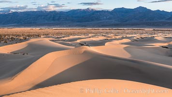
Mesquite Dunes at sunrise, dawn, clouds and morning sky, sand dunes.
Location: Mesquite Dunes, Death Valley National Park, California
Image ID: 30483
Location: Mesquite Dunes, Death Valley National Park, California
Image ID: 30483
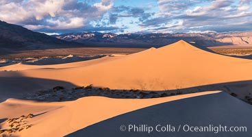
Mesquite Dunes at sunrise, dawn, clouds and morning sky, sand dunes.
Location: Mesquite Dunes, Death Valley National Park, California
Image ID: 30484
Location: Mesquite Dunes, Death Valley National Park, California
Image ID: 30484
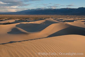
Mesquite Dunes at sunrise, dawn, clouds and morning sky, sand dunes.
Location: Mesquite Dunes, Death Valley National Park, California
Image ID: 30485
Location: Mesquite Dunes, Death Valley National Park, California
Image ID: 30485

Mesquite Dunes at sunrise, dawn, clouds and morning sky, sand dunes.
Location: Mesquite Dunes, Death Valley National Park, California
Image ID: 30486
Panorama dimensions: 4553 x 16396
Location: Mesquite Dunes, Death Valley National Park, California
Image ID: 30486
Panorama dimensions: 4553 x 16396
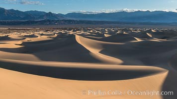
Mesquite Dunes at sunrise, dawn, clouds and morning sky, sand dunes.
Location: Mesquite Dunes, Death Valley National Park, California
Image ID: 30487
Location: Mesquite Dunes, Death Valley National Park, California
Image ID: 30487
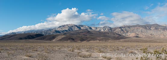
Maturango Peak and Parkinson Peak, and Parrot Point, near Panamint Springs, Death Valley.
Location: Death Valley National Park, California
Image ID: 30488
Panorama dimensions: 6087 x 16872
Location: Death Valley National Park, California
Image ID: 30488
Panorama dimensions: 6087 x 16872
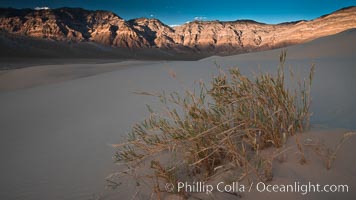
Eureka dune grass is a rare and federally endangered species of grass endemic to the Eureka Valley and Eureka Sand Dunes. The Last Chance mountains, lit by sunset, are visible in the distance. Swallenia alexandrae, a perennial grass, grows only in the southern portion of Eureka Valley Sand Dunes, in Inyo County, California.
Species: Eureka dune grass, Swallenia alexandrae
Location: Eureka Dunes, Death Valley National Park, California
Image ID: 25248
Species: Eureka dune grass, Swallenia alexandrae
Location: Eureka Dunes, Death Valley National Park, California
Image ID: 25248
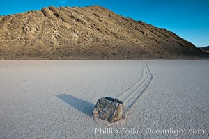
A sliding rock of the Racetrack Playa. The sliding rocks, or sailing stones, move across the mud flats of the Racetrack Playa, leaving trails behind in the mud. The explanation for their movement is not known with certainty, but many believe wind pushes the rocks over wet and perhaps icy mud in winter.
Location: Racetrack Playa, Death Valley National Park, California
Image ID: 25266
Location: Racetrack Playa, Death Valley National Park, California
Image ID: 25266
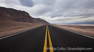
Lonely road, Death Valley.
Location: Badwater, Death Valley National Park, California
Image ID: 25292
Location: Badwater, Death Valley National Park, California
Image ID: 25292
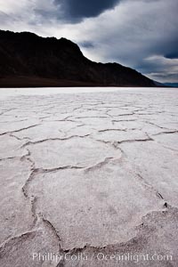
Salt polygons. After winter flooding, the salt on the Badwater Basin playa dries into geometric polygonal shapes.
Location: Badwater, Death Valley National Park, California
Image ID: 25293
Location: Badwater, Death Valley National Park, California
Image ID: 25293
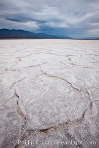
Salt polygons. After winter flooding, the salt on the Badwater Basin playa dries into geometric polygonal shapes.
Location: Badwater, Death Valley National Park, California
Image ID: 25294
Location: Badwater, Death Valley National Park, California
Image ID: 25294
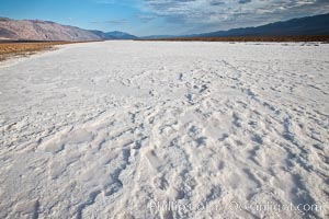
A river of salt flows across Death Valley, toward the lowest point in the United States at Badwater.
Location: Badwater, Death Valley National Park, California
Image ID: 25300
Location: Badwater, Death Valley National Park, California
Image ID: 25300
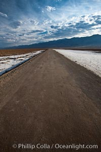
West Side Road cuts across the Badwater Basin.
Location: Badwater, Death Valley National Park, California
Image ID: 25301
Location: Badwater, Death Valley National Park, California
Image ID: 25301
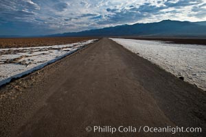
West Side Road cuts across the Badwater Basin.
Location: Badwater, Death Valley National Park, California
Image ID: 25302
Location: Badwater, Death Valley National Park, California
Image ID: 25302
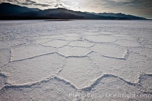
Salt polygons. After winter flooding, the salt on the Badwater Basin playa dries into geometric polygonal shapes.
Location: Badwater, Death Valley National Park, California
Image ID: 25303
Location: Badwater, Death Valley National Park, California
Image ID: 25303
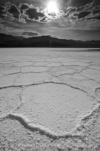
Salt polygons. After winter flooding, the salt on the Badwater Basin playa dries into geometric polygonal shapes.
Location: Badwater, Death Valley National Park, California
Image ID: 25304
Location: Badwater, Death Valley National Park, California
Image ID: 25304
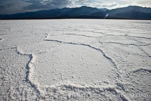
Salt polygons. After winter flooding, the salt on the Badwater Basin playa dries into geometric polygonal shapes.
Location: Badwater, Death Valley National Park, California
Image ID: 25305
Location: Badwater, Death Valley National Park, California
Image ID: 25305