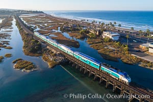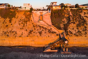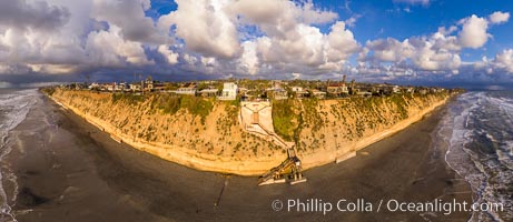
Stone Steps Beach at Sunset, Aerial Panorama, Encinitas, California.
Location: Encinitas, California
Image ID: 37945
Panorama dimensions: 6681 x 15401
Location: Encinitas, California
Image ID: 37945
Panorama dimensions: 6681 x 15401
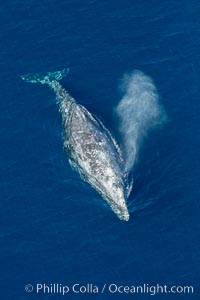
Gray whale blowing at the ocean surface, exhaling and breathing as it prepares to dive underwater.
Species: Gray whale, Eschrichtius robustus
Location: Encinitas, California
Image ID: 29045
Species: Gray whale, Eschrichtius robustus
Location: Encinitas, California
Image ID: 29045
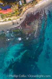
Swamis Reef viewed from above, Encinitas, California.
Location: Encinitas, California
Image ID: 37969
Panorama dimensions: 12980 x 8647
Location: Encinitas, California
Image ID: 37969
Panorama dimensions: 12980 x 8647
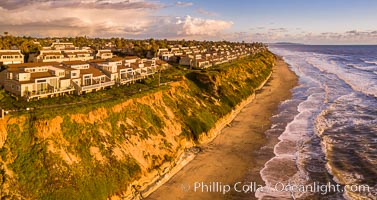
Grandview Beach, Aerial Photo, Encinitas and Carlsbad.
Location: Encinitas, California
Image ID: 38004
Location: Encinitas, California
Image ID: 38004
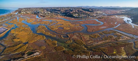
San Elijo Lagoon aerial photo, panorama.
Location: Encinitas, California
Image ID: 38138
Panorama dimensions: 3867 x 8738
Location: Encinitas, California
Image ID: 38138
Panorama dimensions: 3867 x 8738

Leucadia wet sand beach and sea cliffs, sunset.
Location: Leucadia, Encinitas, California
Image ID: 27377
Panorama dimensions: 5147 x 16216
Location: Leucadia, Encinitas, California
Image ID: 27377
Panorama dimensions: 5147 x 16216
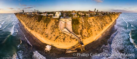
Stone Steps Beach at Sunset, Aerial Panorama, Encinitas, California.
Location: Encinitas, California
Image ID: 38093
Panorama dimensions: 7281 x 16824
Location: Encinitas, California
Image ID: 38093
Panorama dimensions: 7281 x 16824
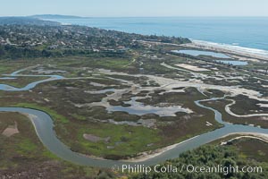
Aerial Photo of San Elijo Lagoon. San Elijo Lagoon Ecological Reserve is one of the largest remaining coastal wetlands in San Diego County, California, on the border of Encinitas, Solana Beach and Rancho Santa Fe.
Location: Encinitas, California
Image ID: 30592
Location: Encinitas, California
Image ID: 30592

Mallard mother and ducklings, San Elijo Lagoon, Encinitas.
Location: San Elijo Lagoon, Encinitas, California
Image ID: 39345
Location: San Elijo Lagoon, Encinitas, California
Image ID: 39345

Foxtail barley.
Species: Foxtail barley, Hordeum murinum
Location: San Elijo Lagoon, Encinitas, California
Image ID: 11384
Species: Foxtail barley, Hordeum murinum
Location: San Elijo Lagoon, Encinitas, California
Image ID: 11384
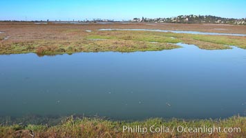
San Elijo lagoon at high tide, looking from the south shore north west.
Location: San Elijo Lagoon, Encinitas, California
Image ID: 19834
Location: San Elijo Lagoon, Encinitas, California
Image ID: 19834
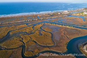
San Elijo Lagoon Aerial Photo, Encinitas, California.
Location: Encinitas, California
Image ID: 37963
Location: Encinitas, California
Image ID: 37963
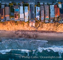
Stone Steps and Leucdia coastline, top down view, aerial photo.
Location: Encinitas, California
Image ID: 37970
Location: Encinitas, California
Image ID: 37970
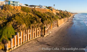
Falling bluffs and reinforcements, buttressing, Encinitas and Leucadia. These bluffs are coming down, its only a matter of time, but residents spend to prop up the bluffs and keep their homes from falling into the ocean.
Location: Encinitas, California
Image ID: 37971
Location: Encinitas, California
Image ID: 37971
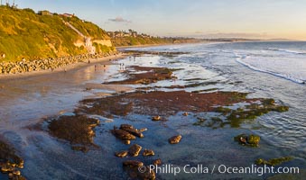
Swamis Beach Reefs Exposed by King Tides, people explore ocean reefs normally underwater but exposed on the extreme low tides known as King Tides. Aerial photo.
Location: Swamis, Encinitas, California
Image ID: 37989
Location: Swamis, Encinitas, California
Image ID: 37989
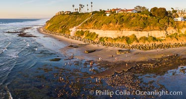
Swamis Beach Reefs Exposed by King Tides, people explore ocean reefs normally underwater but exposed on the extreme low tides known as King Tides. Aerial photo.
Location: Swamis, Encinitas, California
Image ID: 37991
Location: Swamis, Encinitas, California
Image ID: 37991
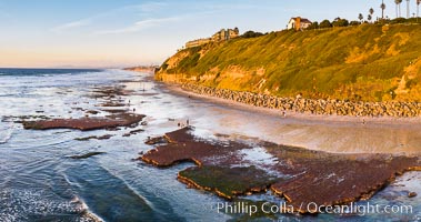
Swamis Beach Reefs Exposed by King Tides, people explore ocean reefs normally underwater but exposed on the extreme low tides known as King Tides. Aerial photo.
Location: Swamis, Encinitas, California
Image ID: 37992
Location: Swamis, Encinitas, California
Image ID: 37992
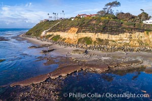
Swamis Reef exposed at extreme low King Tide, Encinitas, aerial panoramic photo.
Location: Swamis, Encinitas, California
Image ID: 38002
Location: Swamis, Encinitas, California
Image ID: 38002
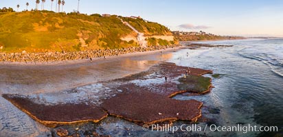
Swamis Beach Reefs Exposed by King Tides, people explore ocean reefs normally underwater but exposed on the extreme low tides known as King Tides. Aerial photo.
Location: Encinitas, California
Image ID: 38014
Panorama dimensions: 4226 x 8716
Location: Encinitas, California
Image ID: 38014
Panorama dimensions: 4226 x 8716
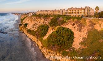
Aerial photo of Coastal Seacliffs in Encinitas California.
Location: Encinitas, California
Image ID: 38015
Location: Encinitas, California
Image ID: 38015
Beacons Beach and Leucadia Coastline, sunset, Encinitas, aerial photo.
Location: Encinitas, California
Image ID: 38127
Panorama dimensions: 4322 x 9955
Location: Encinitas, California
Image ID: 38127
Panorama dimensions: 4322 x 9955
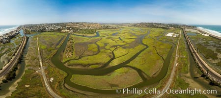
San Elijo Lagoon showing tidal channels, Encinitas, aerial photo.
Location: Encinitas, California
Image ID: 38129
Panorama dimensions: 4693 x 10560
Location: Encinitas, California
Image ID: 38129
Panorama dimensions: 4693 x 10560
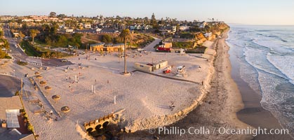
Moonlight Beach Aerial Panoramic Photo at Sunset, Encinitas.
Location: Encinitas, California
Image ID: 38135
Location: Encinitas, California
Image ID: 38135
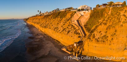
Stone Steps Beach at Sunset, Aerial Panorama, Encinitas, California.
Location: Encinitas, California
Image ID: 38136
Location: Encinitas, California
Image ID: 38136
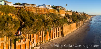
Falling bluffs and reinforcements, buttressing, Encinitas and Leucadia. These bluffs are coming down, its only a matter of time, but residents spend to prop up the bluffs and keep their homes from falling into the ocean.
Location: Encinitas, California
Image ID: 38140
Location: Encinitas, California
Image ID: 38140
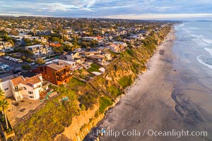
Grandview Beach, Aerial Photo, Encinitas and Carlsbad.
Location: Encinitas, California
Image ID: 38142
Location: Encinitas, California
Image ID: 38142


