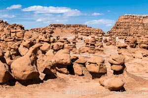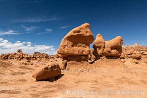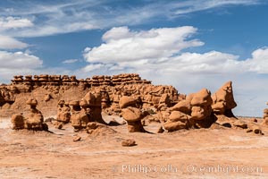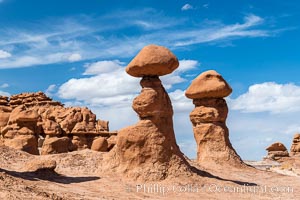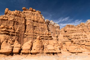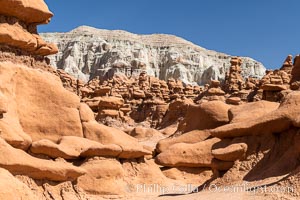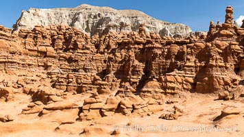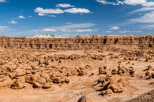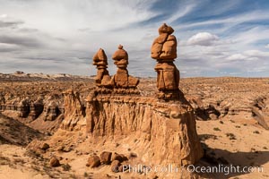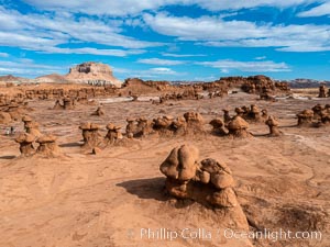
Hoodoos in Goblin Valley State Park. The "goblins" are technically known as hoodoos, formed through the gradual erosion of Entrada sandstone deposited 170 millions years ago.
Location: Goblin Valley State Park, Utah
Image ID: 38183
Location: Goblin Valley State Park, Utah
Image ID: 38183
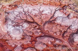
The Tree of Eons, Utah. The Tree of Eons is a spectacular geologic sight near the San Rafael Swell in Utah. Here the Tree of Eons is seen under the direct light of midday. Erosion has cut a dendritic "tree" through red, blue, purple and white layers of the Chinle formation. The Tree of Eons is a superb example of dendritic erosion and, to really appreciate its complex fractal-like details, must be observed from above.
Location: Utah
Image ID: 38201
Location: Utah
Image ID: 38201
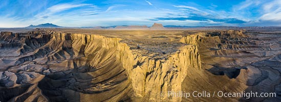
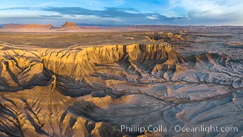
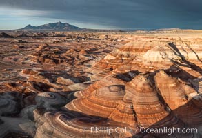
Skyline Rim promontory aerial panoramic photo, with Factory Butte in the distance. The Henry Mountains are in the far left. The Blue Hills lie below the mesa. Just after sunrise. Utah badlands.
Image ID: 38215
Panorama dimensions: 4560 x 12526
Image ID: 38215
Panorama dimensions: 4560 x 12526
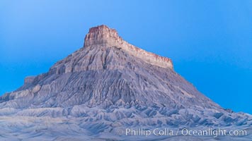
Factory Butte at sunrise. An exceptional example of solitary butte surrounded by dramatically eroded badlands, Factory Butte stands alone on the San Rafael Swell.
Location: Factory Butte, Hanksville, Utah
Image ID: 37018
Location: Factory Butte, Hanksville, Utah
Image ID: 37018
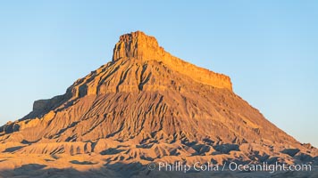
Factory Butte at sunrise. An exceptional example of solitary butte surrounded by dramatically eroded badlands, Factory Butte stands alone on the San Rafael Swell.
Location: Factory Butte, Hanksville, Utah
Image ID: 37019
Location: Factory Butte, Hanksville, Utah
Image ID: 37019
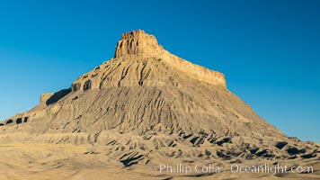
Factory Butte at sunrise. An exceptional example of solitary butte surrounded by dramatically eroded badlands, Factory Butte stands alone on the San Rafael Swell.
Location: Factory Butte, Hanksville, Utah
Image ID: 37020
Location: Factory Butte, Hanksville, Utah
Image ID: 37020
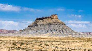
Factory Butte. An exceptional example of a solitary butte surrounded by dramatically eroded badlands, Factory Butte stands alone on the San Rafael Swell.
Location: Factory Butte, Hanksville, Utah
Image ID: 37872
Location: Factory Butte, Hanksville, Utah
Image ID: 37872
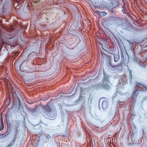
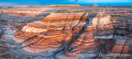
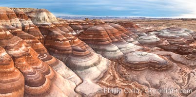
Fantastic colorful sedimentary patterns, Bentonite layers are seen as striations exposed in the Utah Badlands, part of the Brushy Basin shale member of the Morrison Formation. This layer was formed during Jurassic times when mud, silt, fine sand, and volcanic ash were deposited in swamps and lakes. Aerial photograph.
Location: Utah
Image ID: 38020
Location: Utah
Image ID: 38020
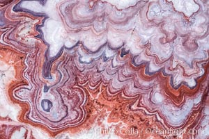
Fantastic colorful sedimentary patterns, Bentonite layers are seen as striations exposed in the Utah Badlands, part of the Brushy Basin shale member of the Morrison Formation. This layer was formed during Jurassic times when mud, silt, fine sand, and volcanic ash were deposited in swamps and lakes. Aerial photograph.
Location: Utah
Image ID: 38021
Location: Utah
Image ID: 38021
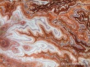
Fantastic colorful sedimentary patterns, Bentonite layers are seen as striations exposed in the Utah Badlands. The Bentonite Hills are composed of the Brushy Basin shale member of the Morrison Formation. This layer was formed during Jurassic times when mud, silt, fine sand, and volcanic ash were deposited in swamps and lakes. Aerial photograph.
Location: Utah
Image ID: 38030
Location: Utah
Image ID: 38030
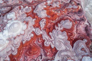
Fantastic colorful sedimentary patterns of Bentonite layers, seen as striations exposed in the Utah Badlands. The Bentonite Hills are composed of the Brushy Basin shale member of the Morrison Formation formed during Jurassic times when mud, silt, fine sand, and volcanic ash were deposited in swamps and lakes into layers, now revealed through erosion. Aerial photograph.
Location: Utah
Image ID: 38047
Location: Utah
Image ID: 38047
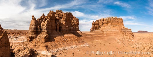
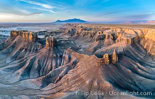
Molly's Castle, aerial view, Goblin Valley State Park.
Location: Goblin Valley State Park, Utah
Image ID: 38049
Panorama dimensions: 3346 x 8974
Location: Goblin Valley State Park, Utah
Image ID: 38049
Panorama dimensions: 3346 x 8974
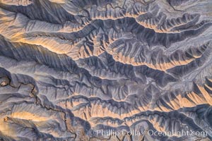
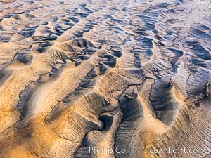
Erosion patterns in the Utah Badlands, aerial abstract photo.
Location: Hanksville, Utah
Image ID: 38051
Location: Hanksville, Utah
Image ID: 38051
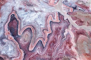
Fantastic colorful sedimentary patterns of Bentonite layers, seen as striations exposed in the Utah Badlands. The Bentonite Hills are composed of the Brushy Basin shale member of the Morrison Formation formed during Jurassic times when mud, silt, fine sand, and volcanic ash were deposited in swamps and lakes into layers, now revealed through erosion. Aerial photograph.
Location: Utah
Image ID: 38053
Location: Utah
Image ID: 38053
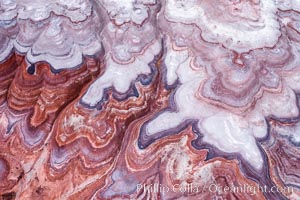
Fantastic colorful sedimentary patterns of Bentonite layers, seen as striations exposed in the Utah Badlands. The Bentonite Hills are composed of the Brushy Basin shale member of the Morrison Formation formed during Jurassic times when mud, silt, fine sand, and volcanic ash were deposited in swamps and lakes into layers, now revealed through erosion. Aerial photograph.
Location: Utah
Image ID: 38056
Location: Utah
Image ID: 38056
