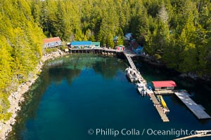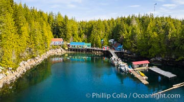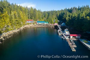
Gods Pocket Resort, on Hurst Island, part of Gods Pocket Provincial Park, aerial photo.
Location: British Columbia, Canada
Image ID: 34480
Location: British Columbia, Canada
Image ID: 34480
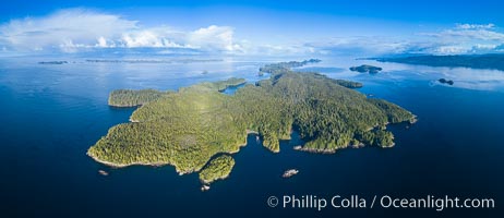
Hurst Island and Gods Pocket Provincial Park, aerial photo.
Location: Gods Pocket Provincial Park, Vancouver Island, British Columbia, Canada
Image ID: 34481
Panorama dimensions: 4948 x 11433
Location: Gods Pocket Provincial Park, Vancouver Island, British Columbia, Canada
Image ID: 34481
Panorama dimensions: 4948 x 11433
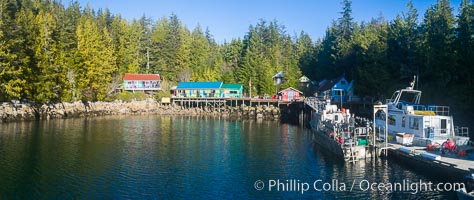
Gods Pocket Resort, on Hurst Island, part of Gods Pocket Provincial Park, aerial photo.
Location: British Columbia, Canada
Image ID: 34482
Location: British Columbia, Canada
Image ID: 34482
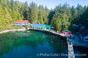
Gods Pocket Resort, on Hurst Island, part of Gods Pocket Provincial Park, aerial photo.
Location: British Columbia, Canada
Image ID: 34483
Location: British Columbia, Canada
Image ID: 34483
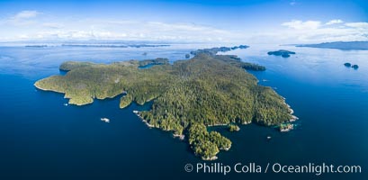
Hurst Island and Gods Pocket Provincial Park, aerial photo.
Location: Gods Pocket Provincial Park, Vancouver Island, British Columbia, Canada
Image ID: 34484
Panorama dimensions: 5079 x 10384
Location: Gods Pocket Provincial Park, Vancouver Island, British Columbia, Canada
Image ID: 34484
Panorama dimensions: 5079 x 10384
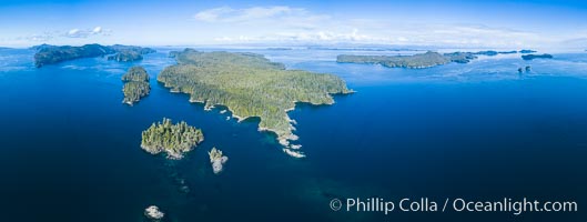
Balaklava Island and Browning Pass, location of the best cold water diving in the world, aerial photo.
Location: British Columbia, Canada
Image ID: 34485
Panorama dimensions: 4570 x 12090
Location: British Columbia, Canada
Image ID: 34485
Panorama dimensions: 4570 x 12090
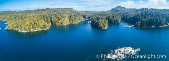
Hurst Island and Gods Pocket Provincial Park, aerial photo.
Location: Gods Pocket Provincial Park, Vancouver Island, British Columbia, Canada
Image ID: 34486
Panorama dimensions: 3174 x 8724
Location: Gods Pocket Provincial Park, Vancouver Island, British Columbia, Canada
Image ID: 34486
Panorama dimensions: 3174 x 8724
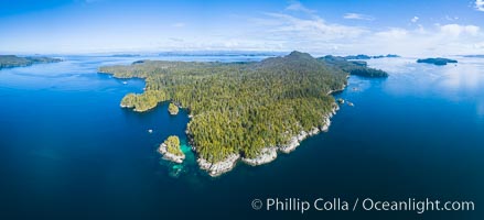
Hurst Island and Gods Pocket Provincial Park, aerial photo.
Location: Gods Pocket Provincial Park, Vancouver Island, British Columbia, Canada
Image ID: 34487
Panorama dimensions: 4832 x 10611
Location: Gods Pocket Provincial Park, Vancouver Island, British Columbia, Canada
Image ID: 34487
Panorama dimensions: 4832 x 10611
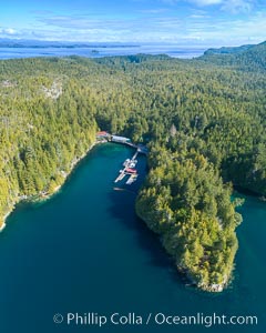
Hurst Island, Balaklava Island (left) and Gods Pocket Provincial Park, aerial photo.
Location: Gods Pocket Provincial Park, Vancouver Island, British Columbia, Canada
Image ID: 34488
Location: Gods Pocket Provincial Park, Vancouver Island, British Columbia, Canada
Image ID: 34488
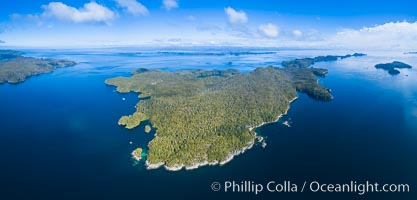
Hurst Island and Gods Pocket Provincial Park, aerial photo.
Location: Gods Pocket Provincial Park, Vancouver Island, British Columbia, Canada
Image ID: 34489
Panorama dimensions: 5029 x 10484
Location: Gods Pocket Provincial Park, Vancouver Island, British Columbia, Canada
Image ID: 34489
Panorama dimensions: 5029 x 10484
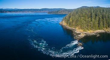
Seymour Narrows with strong tidal currents. Between Vancouver Island and Quadra Island, Seymour Narrows is about 750 meters wide and has currents reaching 15 knots. Aerial photo.
Location: British Columbia, Canada
Image ID: 34490
Location: British Columbia, Canada
Image ID: 34490
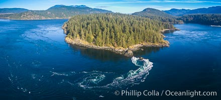
Seymour Narrows with strong tidal currents. Between Vancouver Island and Quadra Island, Seymour Narrows is about 750 meters wide and has currents reaching 15 knots. Aerial photo.
Location: British Columbia, Canada
Image ID: 34491
Location: British Columbia, Canada
Image ID: 34491
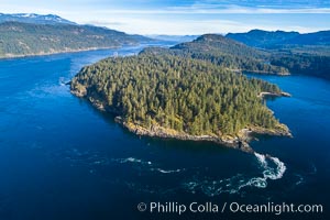
Seymour Narrows with strong tidal currents. Between Vancouver Island and Quadra Island, Seymour Narrows is about 750 meters wide and has currents reaching 15 knots. Aerial photo.
Location: British Columbia, Canada
Image ID: 34492
Location: British Columbia, Canada
Image ID: 34492
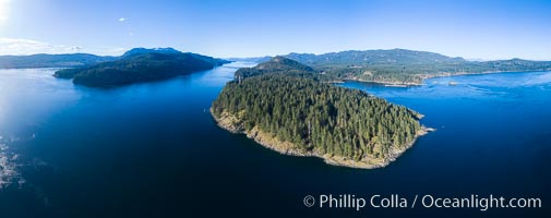
Seymour Narrows, between Vancouver Island and Quadra Island, Seymour Narrows is about 750 meters wide and has currents reaching 15 knots. Aerial photo.
Location: British Columbia, Canada
Image ID: 34493
Panorama dimensions: 5121 x 12921
Location: British Columbia, Canada
Image ID: 34493
Panorama dimensions: 5121 x 12921
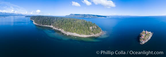
Chrome Island (foreground) and Denman Island, Hornby Island in the distance.
Location: British Columbia, Canada
Image ID: 34494
Panorama dimensions: 4992 x 14417
Location: British Columbia, Canada
Image ID: 34494
Panorama dimensions: 4992 x 14417
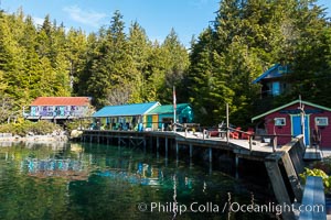
Gods Pocket Resort, on Hurst Island, part of Gods Pocket Provincial Park.
Location: British Columbia, Canada
Image ID: 34497
Location: British Columbia, Canada
Image ID: 34497
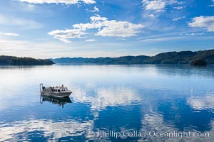
Dive Boat Hurst Island, Browning Pass, Canada, aerial photo.
Location: British Columbia, Canada
Image ID: 35533
Location: British Columbia, Canada
Image ID: 35533
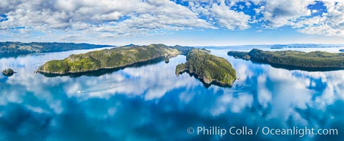
Browning Pass aerial photo, with Nigei Island (left) and Balackava Island (right).
Location: British Columbia, Canada
Image ID: 35534
Panorama dimensions: 6509 x 15885
Location: British Columbia, Canada
Image ID: 35534
Panorama dimensions: 6509 x 15885
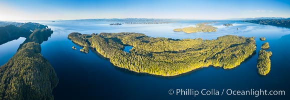
Browning Pass aerial photo, with Nigei Island (left) and Balackava Island (right).
Location: British Columbia, Canada
Image ID: 35536
Panorama dimensions: 5233 x 15152
Location: British Columbia, Canada
Image ID: 35536
Panorama dimensions: 5233 x 15152
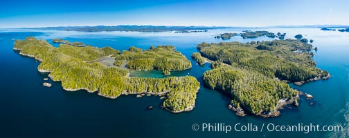
Staples and Kent Islands, British Columbia, aerial photo.
Location: British Columbia, Canada
Image ID: 35537
Panorama dimensions: 5571 x 14039
Location: British Columbia, Canada
Image ID: 35537
Panorama dimensions: 5571 x 14039
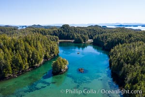
Kent Island anchorage, British Columbia, aerial photo.
Location: British Columbia, Canada
Image ID: 35538
Location: British Columbia, Canada
Image ID: 35538
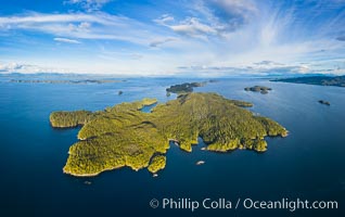
Hurst Island aerial photo.
Location: British Columbia, Canada
Image ID: 35539
Panorama dimensions: 6375 x 10122
Location: British Columbia, Canada
Image ID: 35539
Panorama dimensions: 6375 x 10122
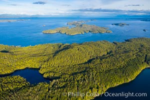
Balaklava Island and Hurst Island, aerial view, Canada.
Location: British Columbia, Canada
Image ID: 35540
Location: British Columbia, Canada
Image ID: 35540
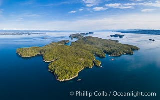
Hurst Island aerial photo.
Location: British Columbia, Canada
Image ID: 35542
Panorama dimensions: 5444 x 8721
Location: British Columbia, Canada
Image ID: 35542
Panorama dimensions: 5444 x 8721
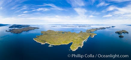
Hurst Island aerial photo.
Location: British Columbia, Canada
Image ID: 35544
Panorama dimensions: 7280 x 15878
Location: British Columbia, Canada
Image ID: 35544
Panorama dimensions: 7280 x 15878
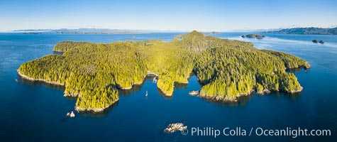
Hurst Island and Gods Pocket Provincial Park, aerial photo.
Location: British Columbia, Canada
Image ID: 35546
Panorama dimensions: 5336 x 12664
Location: British Columbia, Canada
Image ID: 35546
Panorama dimensions: 5336 x 12664
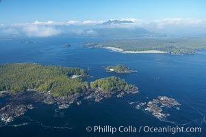
Blunden Island (foreground) and Vargas Island (distance), surrounded by the waters of Clayoquot Sound, west coast of Vancouver Island.
Location: Tofino, British Columbia, Canada
Image ID: 21069
Location: Tofino, British Columbia, Canada
Image ID: 21069
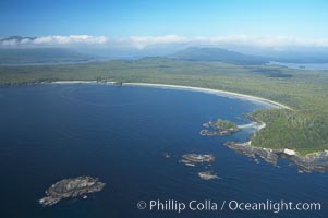
Ahouse Bay and Vargas Island, aerial photo, Clayoquot Sound in the foreground, near Tofino on the west coast of Vancouver Island.
Location: Tofino, British Columbia, Canada
Image ID: 21068
Location: Tofino, British Columbia, Canada
Image ID: 21068
