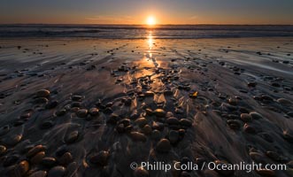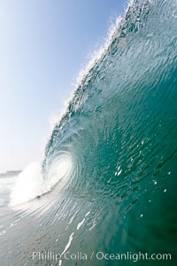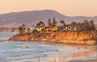
Terramar Sunset, viewed from North Ponto with Oceanside and Camp Pendleton in the distance. Rising in the distance is San Onofre Mountain (1722') topped by a tall signal tower, one of the southern peaks in the Santa Ana Mountains.
Location: Carlsbad, California
Image ID: 35903
Location: Carlsbad, California
Image ID: 35903
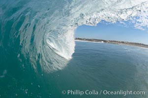
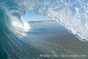
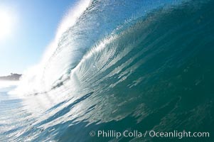
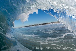
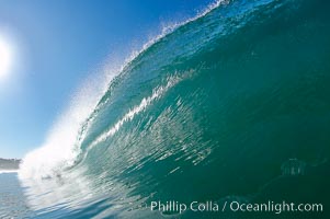
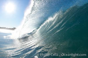
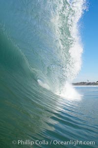
Breaking wave, Ponto, South Carlsbad, California.
Location: Ponto, Carlsbad, California
Image ID: 17397
Location: Ponto, Carlsbad, California
Image ID: 17397
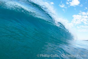
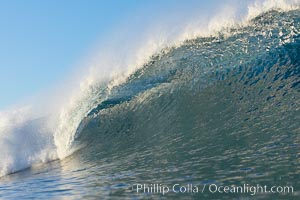
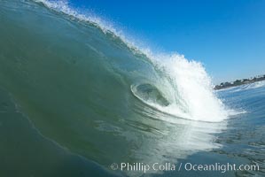
Breaking wave, Ponto, South Carlsbad, California.
Location: Ponto, Carlsbad, California
Image ID: 17402
Location: Ponto, Carlsbad, California
Image ID: 17402
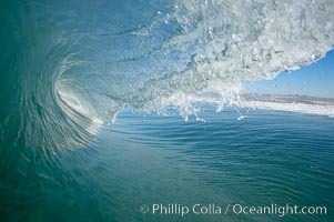
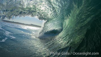
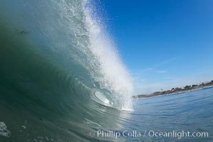
Surf, wave, winter, morning, Ponto, South Carlsbad.
Location: Ponto, Carlsbad, California
Image ID: 14978
Location: Ponto, Carlsbad, California
Image ID: 14978
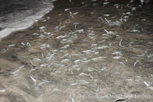
California grunion.
Species: California grunion, Leuresthes tenuis
Location: Carlsbad, California
Image ID: 09301
Species: California grunion, Leuresthes tenuis
Location: Carlsbad, California
Image ID: 09301
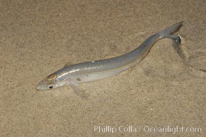
California grunion.
Species: California grunion, Leuresthes tenuis
Location: Carlsbad, California
Image ID: 09302
Species: California grunion, Leuresthes tenuis
Location: Carlsbad, California
Image ID: 09302
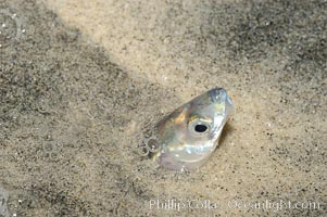
California grunion.
Species: California grunion, Leuresthes tenuis
Location: Carlsbad, California
Image ID: 09306
Species: California grunion, Leuresthes tenuis
Location: Carlsbad, California
Image ID: 09306
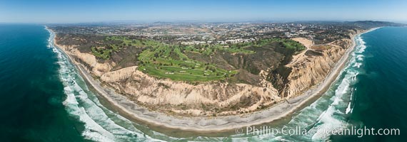
Aerial panorama of Blacks Beach, Torrey Pines Golf Course (south course), and views to La Jolla (south) and Carlsbad (north).
Location: La Jolla, California
Image ID: 30851
Panorama dimensions: 6962 x 19824
Location: La Jolla, California
Image ID: 30851
Panorama dimensions: 6962 x 19824
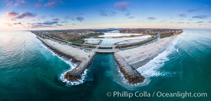
Batiquitos Lagoon and Ponto, sunset, aerial photo.
Location: Carlsbad, California
Image ID: 38132
Panorama dimensions: 4298 x 8945
Location: Carlsbad, California
Image ID: 38132
Panorama dimensions: 4298 x 8945
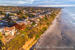
Grandview Beach, Aerial Photo, Encinitas and Carlsbad.
Location: Encinitas, California
Image ID: 38142
Location: Encinitas, California
Image ID: 38142
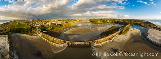
Batiquitos Lagoon and Ponto, stormy sunset, aerial photo.
Location: Carlsbad, California
Image ID: 38165
Panorama dimensions: 6361 x 17290
Location: Carlsbad, California
Image ID: 38165
Panorama dimensions: 6361 x 17290
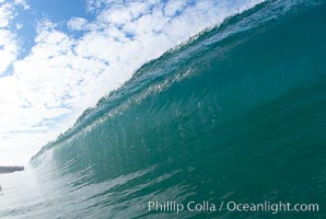
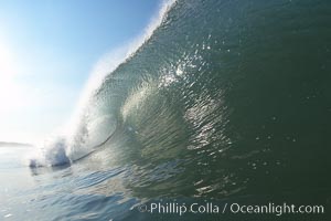
Breaking wave, Ponto, South Carlsbad, California.
Location: Ponto, Carlsbad, California
Image ID: 17404
Location: Ponto, Carlsbad, California
Image ID: 17404
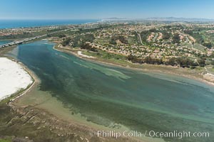
Aerial photo of Batiquitos Lagoon, Carlsbad. The Batiquitos Lagoon is a coastal wetland in southern Carlsbad, California. Part of the lagoon is designated as the Batiquitos Lagoon State Marine Conservation Area, run by the California Department of Fish and Game as a nature reserve.
Location: Carlsbad, Callifornia
Image ID: 30561
Location: Carlsbad, Callifornia
Image ID: 30561
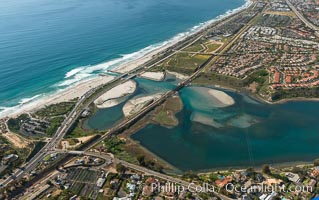
Aerial photo of Batiquitos Lagoon, Carlsbad. The Batiquitos Lagoon is a coastal wetland in southern Carlsbad, California. Part of the lagoon is designated as the Batiquitos Lagoon State Marine Conservation Area, run by the California Department of Fish and Game as a nature reserve.
Location: Carlsbad, Callifornia
Image ID: 30572
Location: Carlsbad, Callifornia
Image ID: 30572

South Carlsbad State Beach sunset, beautiful clouds and soft colors.
Location: Carlsbad, California
Image ID: 27406
Location: Carlsbad, California
Image ID: 27406
