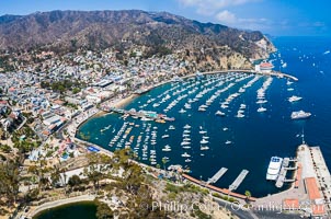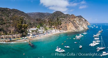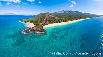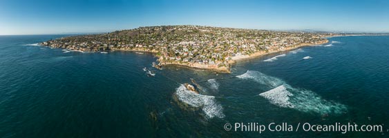
Aerial Panoramic Photo of Bird Rock and La Jolla Coast.
Location: La Jolla, California
Image ID: 30787
Panorama dimensions: 7955 x 22392
Location: La Jolla, California
Image ID: 30787
Panorama dimensions: 7955 x 22392

Aerial Photo of Swami's and Encinitas Coast.
Location: Encinitas, California
Image ID: 30788
Panorama dimensions: 8500 x 26638
Location: Encinitas, California
Image ID: 30788
Panorama dimensions: 8500 x 26638
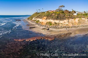
Swamis Reef exposed at extreme low King Tide, Encinitas, aerial panoramic photo.
Location: Swamis, Encinitas, California
Image ID: 37996
Location: Swamis, Encinitas, California
Image ID: 37996
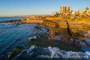
South Casa Beach and Submarine Reef System, at extreme low King Tide, La Jolla, aerial panoramic photo.
Location: La Jolla, California
Image ID: 37998
Location: La Jolla, California
Image ID: 37998
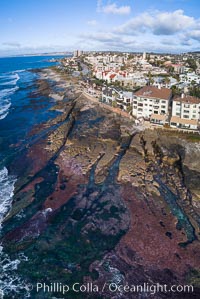
Nicholson Point on extreme low King Tide, La Jolla, aerial panoramic photo.
Location: La Jolla, California
Image ID: 38001
Location: La Jolla, California
Image ID: 38001
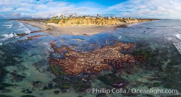
Tabletop Reef at extreme low tide, King Tide, Solana Beach, aerial panoramic photo.
Location: California
Image ID: 38003
Panorama dimensions: 7782 x 14460
Location: California
Image ID: 38003
Panorama dimensions: 7782 x 14460
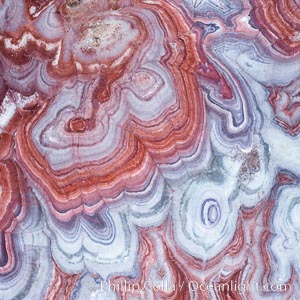
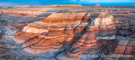
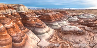
Fantastic colorful sedimentary patterns, Bentonite layers are seen as striations exposed in the Utah Badlands, part of the Brushy Basin shale member of the Morrison Formation. This layer was formed during Jurassic times when mud, silt, fine sand, and volcanic ash were deposited in swamps and lakes. Aerial photograph.
Location: Utah
Image ID: 38020
Location: Utah
Image ID: 38020
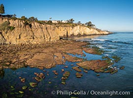
La Jolla Bay submarine reef system on extreme low King Tide, south of La Jolla Shores, aerial panoramic photo.
Location: La Jolla, California
Image ID: 38035
Location: La Jolla, California
Image ID: 38035
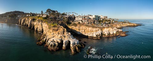
Goldfish Point and La Jolla Sea Caves, early morning, aerial photo.
Location: La Jolla, California
Image ID: 38045
Panorama dimensions: 5341 x 13250
Location: La Jolla, California
Image ID: 38045
Panorama dimensions: 5341 x 13250
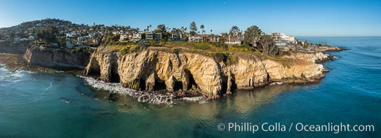
La Jolla Sea Caves and Coast Walk, early morning, aerial photo.
Location: La Jolla, California
Image ID: 38046
Panorama dimensions: 5061 x 13967
Location: La Jolla, California
Image ID: 38046
Panorama dimensions: 5061 x 13967
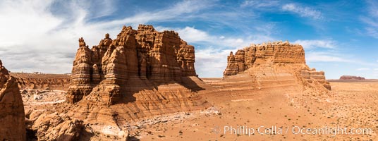
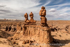
Molly's Castle, aerial view, Goblin Valley State Park.
Location: Goblin Valley State Park, Utah
Image ID: 38049
Panorama dimensions: 3346 x 8974
Location: Goblin Valley State Park, Utah
Image ID: 38049
Panorama dimensions: 3346 x 8974
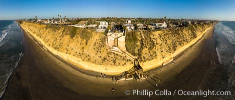
Stone Steps and Encinitas Coastline, Aerial View. Aerial panoramic photo.
Location: Encinitas, California
Image ID: 38058
Panorama dimensions: 5354 x 12552
Location: Encinitas, California
Image ID: 38058
Panorama dimensions: 5354 x 12552
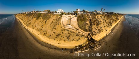
Stone Steps and Encinitas Coastline, Aerial View. Aerial panoramic photo.
Location: Encinitas, California
Image ID: 38059
Panorama dimensions: 6122 x 14249
Location: Encinitas, California
Image ID: 38059
Panorama dimensions: 6122 x 14249

Pillbox, Fletcher Cove, Solana Beach, aerial photo.
Location: Solana Beach, California
Image ID: 38061
Panorama dimensions: 4366 x 13559
Location: Solana Beach, California
Image ID: 38061
Panorama dimensions: 4366 x 13559
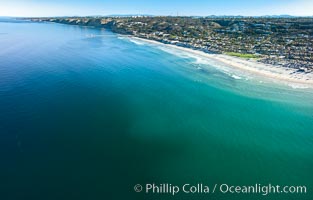
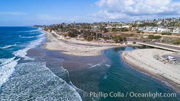
La Jolla Shores Beach and La Jolla Submarine Canyon, aerial photo.
Location: La Jolla, California
Image ID: 38063
Location: La Jolla, California
Image ID: 38063
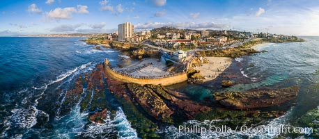
Childrens Pool Reef Exposed at Extreme Low Tide, La Jolla, California. Aerial panoramic photograph.
Location: La Jolla, California
Image ID: 38071
Panorama dimensions: 5543 x 12691
Location: La Jolla, California
Image ID: 38071
Panorama dimensions: 5543 x 12691
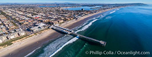
Aerial Photo of Crystal Pier, 872 feet long and built in 1925, extends out into the Pacific Ocean from the town of Pacific Beach. Panoramic photo.
Location: Pacific Beach, California
Image ID: 38079
Panorama dimensions: 3609 x 9605
Location: Pacific Beach, California
Image ID: 38079
Panorama dimensions: 3609 x 9605
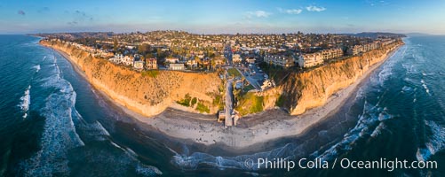
Fletcher Cove and Pillbox Beach at sunset, panoramic aerial photograph.
Location: Solana Beach, California
Image ID: 38087
Panorama dimensions: 4399 x 11027
Location: Solana Beach, California
Image ID: 38087
Panorama dimensions: 4399 x 11027
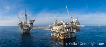
Aerial photo of platforms Elly and Ellen, in 260 feet of water off Long Beach, California.
Location: Long Beach, California
Image ID: 38089
Location: Long Beach, California
Image ID: 38089
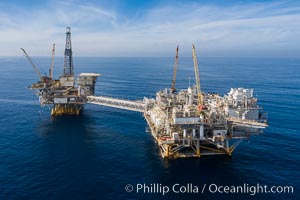
Aerial photo of platforms Elly and Ellen, in 260 feet of water off Long Beach, California.
Location: Long Beach, California
Image ID: 38091
Location: Long Beach, California
Image ID: 38091
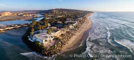
Del Mar Beach at sunset viewed from Dog Beach, aerial photo.
Location: Del Mar, California
Image ID: 38104
Location: Del Mar, California
Image ID: 38104
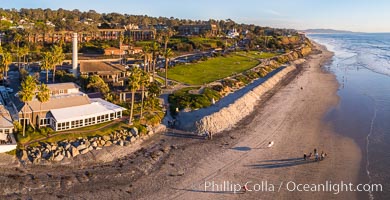
Powerhouse Park and Beach in Del Mar at sunset, aerial photo.
Location: Del Mar, California
Image ID: 38106
Location: Del Mar, California
Image ID: 38106
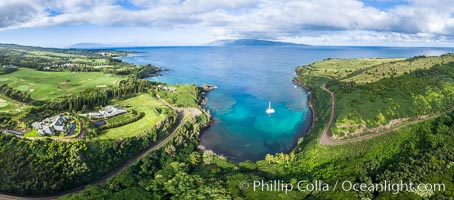
Honolua Bay in West Maui aerial photo, morning, with snorkel boat at anchor, panorama.
Location: Honolua Bay, Maui, Hawaii
Image ID: 38162
Panorama dimensions: 5462 x 12400
Location: Honolua Bay, Maui, Hawaii
Image ID: 38162
Panorama dimensions: 5462 x 12400
