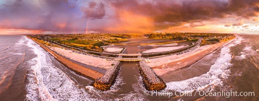
Batiquitos Lagoon and Ponto, stormy sunset, aerial panoramic photograph.
Location: Carlsbad, California
Image ID: 37944
Panorama dimensions: 6058 x 15573
Location: Carlsbad, California
Image ID: 37944
Panorama dimensions: 6058 x 15573
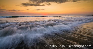
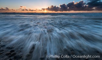
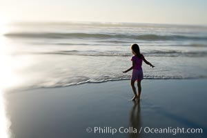
Waves rush in at sunset, Carlsbad beach sunset and ocean waves, seascape, dusk, summer.
Location: Carlsbad, California
Image ID: 27974
Location: Carlsbad, California
Image ID: 27974
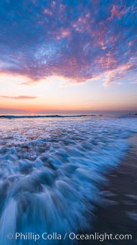
Waves rush in at sunset, Carlsbad beach sunset and ocean waves, seascape, dusk, summer.
Location: Carlsbad, California
Image ID: 27971
Location: Carlsbad, California
Image ID: 27971
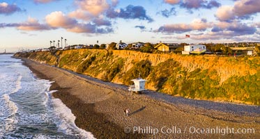
South Carlsbad State Beach and campground, aerial photo.
Location: Carlsbad, California
Image ID: 38006
Location: Carlsbad, California
Image ID: 38006
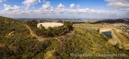
Water Tower Hill and Denk Mountain, and view to the west, highest point in Carlsbad.
Image ID: 38203
Image ID: 38203
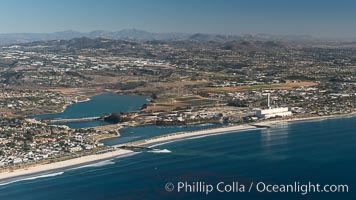
Aqua Hedionda Lagoon and Encina Power Station, Warm Water Jetties beach, Carlsbad, California, aerial photo.
Location: Carlsbad, California
Image ID: 29070
Location: Carlsbad, California
Image ID: 29070
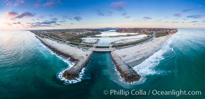
Batiquitos Lagoon and Ponto, sunset, aerial photo.
Location: Carlsbad, California
Image ID: 38132
Panorama dimensions: 4298 x 8945
Location: Carlsbad, California
Image ID: 38132
Panorama dimensions: 4298 x 8945
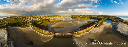
Batiquitos Lagoon and Ponto, stormy sunset, aerial photo.
Location: Carlsbad, California
Image ID: 38165
Panorama dimensions: 6361 x 17290
Location: Carlsbad, California
Image ID: 38165
Panorama dimensions: 6361 x 17290
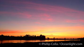
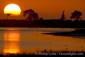
Sunset reflected in the still waters of Batiquitos Lagoon.
Location: Batiquitos Lagoon, Carlsbad, California
Image ID: 22284
Location: Batiquitos Lagoon, Carlsbad, California
Image ID: 22284
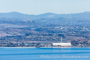
Encina Power Station, a large natural gas and oil-fueled electricity generating plant in Carlsbad, California, aerial photo.
Location: Carlsbad, California
Image ID: 29078
Location: Carlsbad, California
Image ID: 29078
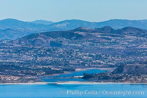
Batiquitos Lagoon, Carlsbad and La Costa, Ponto Beach, aerial photo.
Location: Carlsbad, California
Image ID: 29080
Location: Carlsbad, California
Image ID: 29080

Great blue heron in flight.
Species: Great blue heron, Ardea herodias
Location: Batiquitos Lagoon, Carlsbad, California
Image ID: 18723
Species: Great blue heron, Ardea herodias
Location: Batiquitos Lagoon, Carlsbad, California
Image ID: 18723
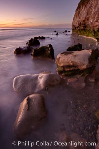
Sunset, sea cliffs, rocks and swirling water blurred in a long time exposure.
Location: Carlsbad, California
Image ID: 22197
Location: Carlsbad, California
Image ID: 22197
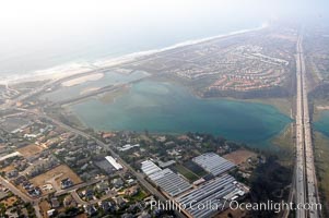
Batiquitos Lagoon aerial view, showing coastline and Interstate 5 freeway.
Location: Carlsbad, California
Image ID: 21337
Location: Carlsbad, California
Image ID: 21337
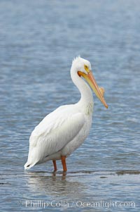
White pelican, breeding adult with fibrous plate on upper mandible of bill, Batiquitos Lagoon.
Species: White pelican, Pelecanus erythrorhynchos
Location: Batiquitos Lagoon, Carlsbad, California
Image ID: 15650
Species: White pelican, Pelecanus erythrorhynchos
Location: Batiquitos Lagoon, Carlsbad, California
Image ID: 15650
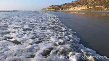
Ocean water washes over a flat sand beach, sandstone bluffs rise in the background, sunset.
Location: Carlsbad, California
Image ID: 19806
Location: Carlsbad, California
Image ID: 19806
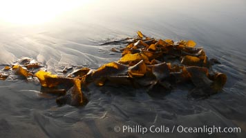
Kelp washes ashore in clumps on the rising tide.
Species: Giant kelp, Macrocystis pyrifera
Location: Carlsbad, California
Image ID: 19814
Species: Giant kelp, Macrocystis pyrifera
Location: Carlsbad, California
Image ID: 19814
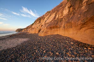
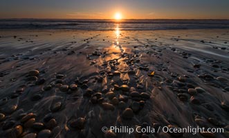
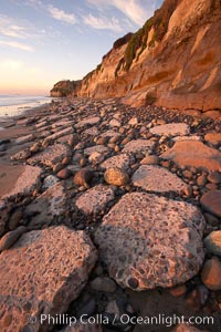
Cobblestones piled at the base of seacliffs, sunset. Beach cliffs made of soft clay continually erode, adding fresh sand and cobble stones to the beach. The sand will flow away with ocean currents, leading for further erosion of the cliffs.
Location: Carlsbad, California
Image ID: 22190
Location: Carlsbad, California
Image ID: 22190
Remains of the old historic "Coast Highway 101", undermined as the bluff upon which it was built eroded away, now broken into pieces of concrete and asphalt blocks and fallen down the sea cliffs, lying on the beach.
Location: Carlsbad, California
Image ID: 22192
Location: Carlsbad, California
Image ID: 22192
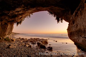
Sarah's Cavern, a natural sea cave hidden below sea cliffs in Carlsbad, opening onto a flat beach at sunset, inner walls adorned with graffiti.
Location: Carlsbad, California
Image ID: 22196
Location: Carlsbad, California
Image ID: 22196
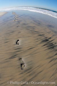
Empty beach after a session in the water, footprints in the sand.
Location: Ponto, Carlsbad, California
Image ID: 17695
Location: Ponto, Carlsbad, California
Image ID: 17695
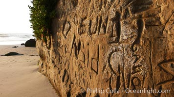
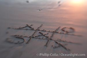
Graffiti is carved into soft sandstone cliffs at the beach.
Location: Carlsbad, California
Image ID: 19812
Location: Carlsbad, California
Image ID: 19812
