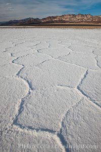
Salt polygons. After winter flooding, the salt on the Badwater Basin playa dries into geometric polygonal shapes.
Location: Badwater, Death Valley National Park, California
Image ID: 25242
Location: Badwater, Death Valley National Park, California
Image ID: 25242
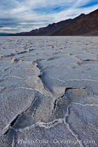
Salt polygons. After winter flooding, the salt on the Badwater Basin playa dries into geometric polygonal shapes.
Location: Badwater, Death Valley National Park, California
Image ID: 27631
Location: Badwater, Death Valley National Park, California
Image ID: 27631

Lonely road, Death Valley.
Location: Badwater, Death Valley National Park, California
Image ID: 25252
Location: Badwater, Death Valley National Park, California
Image ID: 25252
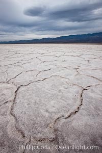
Salt polygons. After winter flooding, the salt on the Badwater Basin playa dries into geometric polygonal shapes.
Location: Badwater, Death Valley National Park, California
Image ID: 25254
Location: Badwater, Death Valley National Park, California
Image ID: 25254
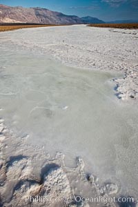
A river of salt flows across Death Valley, toward the lowest point in the United States at Badwater.
Location: Badwater, Death Valley National Park, California
Image ID: 25260
Location: Badwater, Death Valley National Park, California
Image ID: 25260
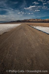
West Side Road cuts across the Badwater Basin.
Location: Badwater, Death Valley National Park, California
Image ID: 25261
Location: Badwater, Death Valley National Park, California
Image ID: 25261
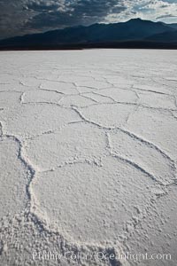
Salt polygons. After winter flooding, the salt on the Badwater Basin playa dries into geometric polygonal shapes.
Location: Badwater, Death Valley National Park, California
Image ID: 25262
Location: Badwater, Death Valley National Park, California
Image ID: 25262
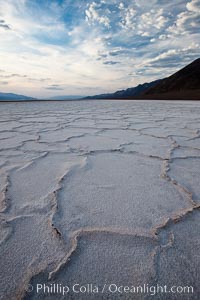
Salt polygons. After winter flooding, the salt on the Badwater Basin playa dries into geometric polygonal shapes.
Location: Badwater, Death Valley National Park, California
Image ID: 25259
Location: Badwater, Death Valley National Park, California
Image ID: 25259
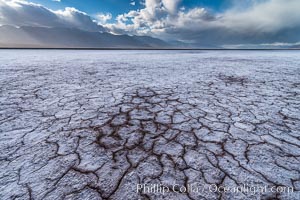
Erosion in the salt patterns of Badwater Playa, Death Valley National Park.
Location: Badwater, Death Valley National Park, California
Image ID: 30472
Location: Badwater, Death Valley National Park, California
Image ID: 30472
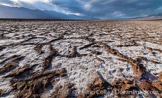
Erosion in the salt patterns of Badwater Playa, Death Valley National Park.
Location: Badwater, Death Valley National Park, California
Image ID: 30473
Location: Badwater, Death Valley National Park, California
Image ID: 30473
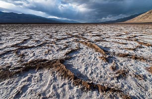
Erosion in the salt patterns of Badwater Playa, Death Valley National Park.
Location: Badwater, Death Valley National Park, California
Image ID: 30474
Location: Badwater, Death Valley National Park, California
Image ID: 30474
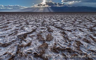
Erosion in the salt patterns of Badwater Playa, Death Valley National Park.
Location: Badwater, Death Valley National Park, California
Image ID: 30475
Location: Badwater, Death Valley National Park, California
Image ID: 30475
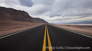
Lonely road, Death Valley.
Location: Badwater, Death Valley National Park, California
Image ID: 25292
Location: Badwater, Death Valley National Park, California
Image ID: 25292
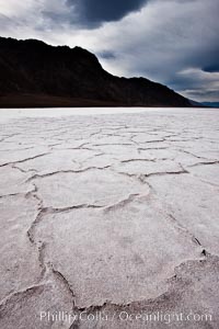
Salt polygons. After winter flooding, the salt on the Badwater Basin playa dries into geometric polygonal shapes.
Location: Badwater, Death Valley National Park, California
Image ID: 25293
Location: Badwater, Death Valley National Park, California
Image ID: 25293
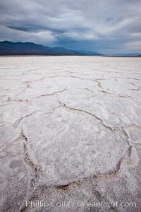
Salt polygons. After winter flooding, the salt on the Badwater Basin playa dries into geometric polygonal shapes.
Location: Badwater, Death Valley National Park, California
Image ID: 25294
Location: Badwater, Death Valley National Park, California
Image ID: 25294
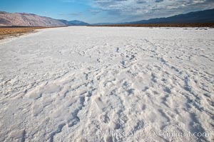
A river of salt flows across Death Valley, toward the lowest point in the United States at Badwater.
Location: Badwater, Death Valley National Park, California
Image ID: 25300
Location: Badwater, Death Valley National Park, California
Image ID: 25300
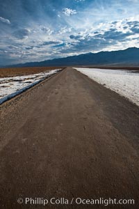
West Side Road cuts across the Badwater Basin.
Location: Badwater, Death Valley National Park, California
Image ID: 25301
Location: Badwater, Death Valley National Park, California
Image ID: 25301
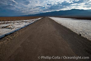
West Side Road cuts across the Badwater Basin.
Location: Badwater, Death Valley National Park, California
Image ID: 25302
Location: Badwater, Death Valley National Park, California
Image ID: 25302
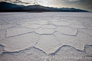
Salt polygons. After winter flooding, the salt on the Badwater Basin playa dries into geometric polygonal shapes.
Location: Badwater, Death Valley National Park, California
Image ID: 25303
Location: Badwater, Death Valley National Park, California
Image ID: 25303
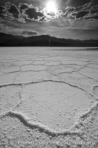
Salt polygons. After winter flooding, the salt on the Badwater Basin playa dries into geometric polygonal shapes.
Location: Badwater, Death Valley National Park, California
Image ID: 25304
Location: Badwater, Death Valley National Park, California
Image ID: 25304
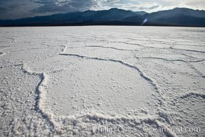
Salt polygons. After winter flooding, the salt on the Badwater Basin playa dries into geometric polygonal shapes.
Location: Badwater, Death Valley National Park, California
Image ID: 25305
Location: Badwater, Death Valley National Park, California
Image ID: 25305
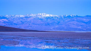
Sunrise lights Telescope Peak as it rises over the salt flats of Badwater, Death Valley. At 11,049 feet, Telescope Peak is the highest peak in the Panamint Range as well as the highest point in Death Valley National Park. At 282 feet below sea level, Badwater is the lowest point in North America.
Location: Badwater, Death Valley National Park, California
Image ID: 20549
Location: Badwater, Death Valley National Park, California
Image ID: 20549
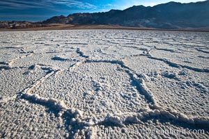
Devils Golf Course, California. Evaporated salt has formed into gnarled, complex crystalline shapes in on the salt pan of Death Valley National Park, one of the largest salt pans in the world. The shapes are constantly evolving as occasional floods submerge the salt concretions before receding and depositing more salt.
Location: Devils Golf Course, Death Valley National Park, California
Image ID: 15582
Location: Devils Golf Course, Death Valley National Park, California
Image ID: 15582
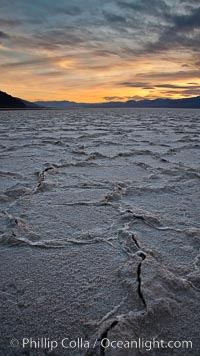
Salt polygons. After winter flooding, the salt on the Badwater Basin playa dries into geometric polygonal shapes.
Location: Badwater, Death Valley National Park, California
Image ID: 27635
Location: Badwater, Death Valley National Park, California
Image ID: 27635
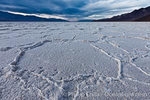
Salt polygons. After winter flooding, the salt on the Badwater Basin playa dries into geometric polygonal shapes.
Location: Badwater, Death Valley National Park, California
Image ID: 27632
Location: Badwater, Death Valley National Park, California
Image ID: 27632
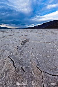
Salt polygons. After winter flooding, the salt on the Badwater Basin playa dries into geometric polygonal shapes.
Location: Badwater, Death Valley National Park, California
Image ID: 27633
Location: Badwater, Death Valley National Park, California
Image ID: 27633
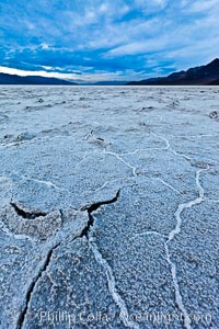
Salt polygons. After winter flooding, the salt on the Badwater Basin playa dries into geometric polygonal shapes.
Location: Badwater, Death Valley National Park, California
Image ID: 27634
Location: Badwater, Death Valley National Park, California
Image ID: 27634
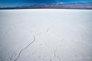
Badwater, California. Badwater, at 282 feet below sea level, is the lowest point in North America. 9000 square miles of watershed drain into the Badwater basin, to dry and form huge white salt flats.
Location: Badwater, Death Valley National Park, California
Image ID: 15579
Location: Badwater, Death Valley National Park, California
Image ID: 15579
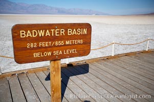
Badwater, California. Badwater, at 282 feet below sea level, is the lowest point in North America. 9000 square miles of watershed drain into the Badwater basin, to dry and form huge white salt flats.
Location: Badwater, Death Valley National Park, California
Image ID: 15580
Location: Badwater, Death Valley National Park, California
Image ID: 15580
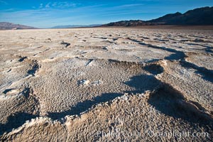
Devils Golf Course, California. Evaporated salt has formed into gnarled, complex crystalline shapes in on the salt pan of Death Valley National Park, one of the largest salt pans in the world. The shapes are constantly evolving as occasional floods submerge the salt concretions before receding and depositing more salt.
Location: Devils Golf Course, Death Valley National Park, California
Image ID: 15583
Location: Devils Golf Course, Death Valley National Park, California
Image ID: 15583