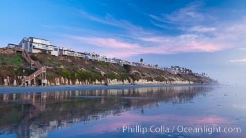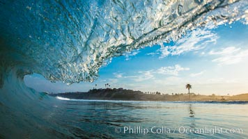
Breaking wave, Moonlight Beach, Encinitas, morning, barrel shaped surf, California.
Location: California
Image ID: 27975
Location: California
Image ID: 27975
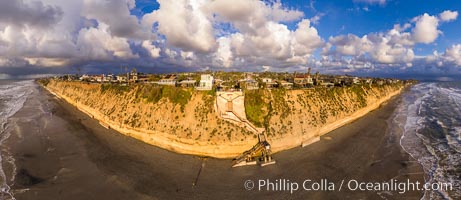
Stone Steps Beach at Sunset, Aerial Panorama, Encinitas, California.
Location: Encinitas, California
Image ID: 37945
Panorama dimensions: 6681 x 15401
Location: Encinitas, California
Image ID: 37945
Panorama dimensions: 6681 x 15401
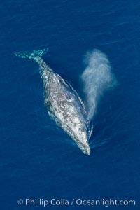
Gray whale blowing at the ocean surface, exhaling and breathing as it prepares to dive underwater.
Species: Gray whale, Eschrichtius robustus
Location: Encinitas, California
Image ID: 29045
Species: Gray whale, Eschrichtius robustus
Location: Encinitas, California
Image ID: 29045
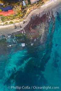
Swamis Reef viewed from above, Encinitas, California.
Location: Encinitas, California
Image ID: 37969
Panorama dimensions: 12980 x 8647
Location: Encinitas, California
Image ID: 37969
Panorama dimensions: 12980 x 8647
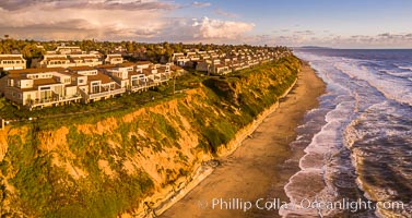
Grandview Beach, Aerial Photo, Encinitas and Carlsbad.
Location: Encinitas, California
Image ID: 38004
Location: Encinitas, California
Image ID: 38004
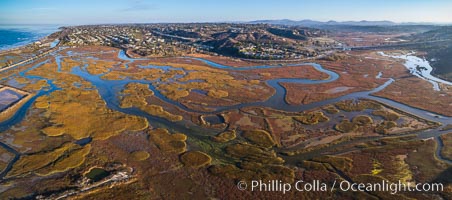
San Elijo Lagoon aerial photo, panorama.
Location: Encinitas, California
Image ID: 38138
Panorama dimensions: 3867 x 8738
Location: Encinitas, California
Image ID: 38138
Panorama dimensions: 3867 x 8738

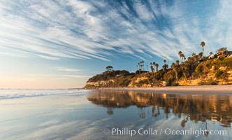
Leucadia wet sand beach and sea cliffs, sunset.
Location: Leucadia, Encinitas, California
Image ID: 27377
Panorama dimensions: 5147 x 16216
Location: Leucadia, Encinitas, California
Image ID: 27377
Panorama dimensions: 5147 x 16216
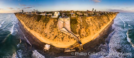
Stone Steps Beach at Sunset, Aerial Panorama, Encinitas, California.
Location: Encinitas, California
Image ID: 38093
Panorama dimensions: 7281 x 16824
Location: Encinitas, California
Image ID: 38093
Panorama dimensions: 7281 x 16824
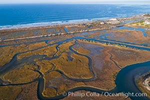
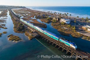
San Elijo Lagoon Aerial Photo, Encinitas, California.
Location: Encinitas, California
Image ID: 37963
Location: Encinitas, California
Image ID: 37963
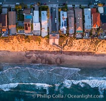
Stone Steps and Leucdia coastline, top down view, aerial photo.
Location: Encinitas, California
Image ID: 37970
Location: Encinitas, California
Image ID: 37970
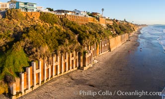
Falling bluffs and reinforcements, buttressing, Encinitas and Leucadia. These bluffs are coming down, its only a matter of time, but residents spend to prop up the bluffs and keep their homes from falling into the ocean.
Location: Encinitas, California
Image ID: 37971
Location: Encinitas, California
Image ID: 37971
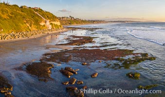
Swamis Beach Reefs Exposed by King Tides, people explore ocean reefs normally underwater but exposed on the extreme low tides known as King Tides. Aerial photo.
Location: Swamis, Encinitas, California
Image ID: 37989
Location: Swamis, Encinitas, California
Image ID: 37989
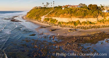
Swamis Beach Reefs Exposed by King Tides, people explore ocean reefs normally underwater but exposed on the extreme low tides known as King Tides. Aerial photo.
Location: Swamis, Encinitas, California
Image ID: 37991
Location: Swamis, Encinitas, California
Image ID: 37991
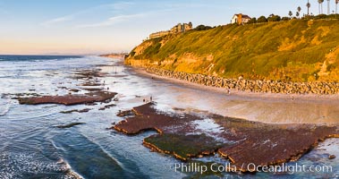
Swamis Beach Reefs Exposed by King Tides, people explore ocean reefs normally underwater but exposed on the extreme low tides known as King Tides. Aerial photo.
Location: Swamis, Encinitas, California
Image ID: 37992
Location: Swamis, Encinitas, California
Image ID: 37992
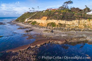
Swamis Reef exposed at extreme low King Tide, Encinitas, aerial panoramic photo.
Location: Swamis, Encinitas, California
Image ID: 38002
Location: Swamis, Encinitas, California
Image ID: 38002
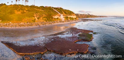
Swamis Beach Reefs Exposed by King Tides, people explore ocean reefs normally underwater but exposed on the extreme low tides known as King Tides. Aerial photo.
Location: Encinitas, California
Image ID: 38014
Panorama dimensions: 4226 x 8716
Location: Encinitas, California
Image ID: 38014
Panorama dimensions: 4226 x 8716
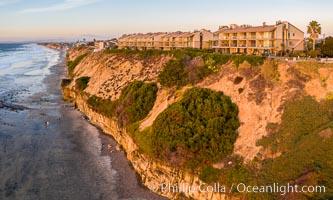
Aerial photo of Coastal Seacliffs in Encinitas California.
Location: Encinitas, California
Image ID: 38015
Location: Encinitas, California
Image ID: 38015
Beacons Beach and Leucadia Coastline, sunset, Encinitas, aerial photo.
Location: Encinitas, California
Image ID: 38127
Panorama dimensions: 4322 x 9955
Location: Encinitas, California
Image ID: 38127
Panorama dimensions: 4322 x 9955
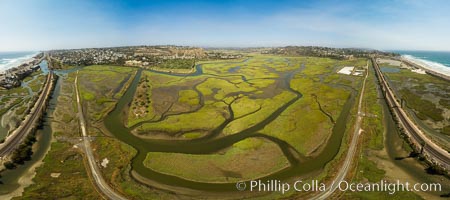
San Elijo Lagoon showing tidal channels, Encinitas, aerial photo.
Location: Encinitas, California
Image ID: 38129
Panorama dimensions: 4693 x 10560
Location: Encinitas, California
Image ID: 38129
Panorama dimensions: 4693 x 10560
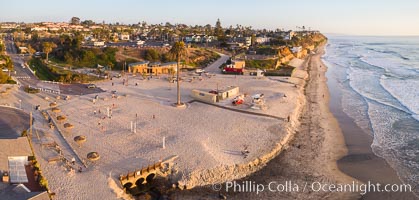
Moonlight Beach Aerial Panoramic Photo at Sunset, Encinitas.
Location: Encinitas, California
Image ID: 38135
Location: Encinitas, California
Image ID: 38135
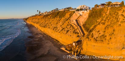
Stone Steps Beach at Sunset, Aerial Panorama, Encinitas, California.
Location: Encinitas, California
Image ID: 38136
Location: Encinitas, California
Image ID: 38136
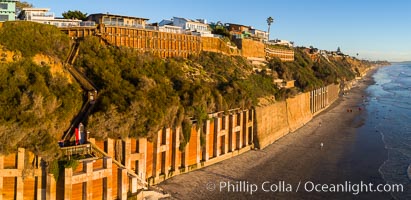
Falling bluffs and reinforcements, buttressing, Encinitas and Leucadia. These bluffs are coming down, its only a matter of time, but residents spend to prop up the bluffs and keep their homes from falling into the ocean.
Location: Encinitas, California
Image ID: 38140
Location: Encinitas, California
Image ID: 38140
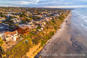
Grandview Beach, Aerial Photo, Encinitas and Carlsbad.
Location: Encinitas, California
Image ID: 38142
Location: Encinitas, California
Image ID: 38142
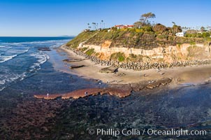
Swamis Reef exposed at extreme low King Tide, Encinitas, aerial panoramic photo.
Location: Swamis, Encinitas, California
Image ID: 37996
Location: Swamis, Encinitas, California
Image ID: 37996

