Aerial photographs of Coronado, California, including Coronado Island, the Hotel del Coronado, and the San Diego Coronado Bay Bridge.
These five Coronado Aerial Photographs are just a selection. If you like them, please be sure to see also my full collection of Coronado Aerial Photos and a gallery of San Diego Aerial Photos.
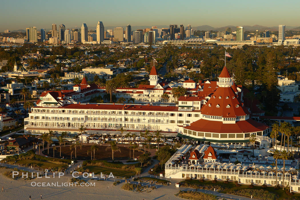
Hotel del Coronado, known affectionately as the Hotel Del. It was once the largest hotel in the world, and is one of the few remaining wooden Victorian beach resorts. It sits on the beach on Coronado Island, seen here with downtown San Diego in the distance. It is widely considered to be one of Americas most beautiful and classic hotels. Built in 1888, it was designated a National Historic Landmark in 1977.
Image ID: 22287
Location: San Diego, California, USA
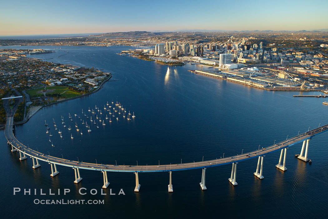
San Diego Coronado Bridge, known locally as the Coronado Bridge, links San Diego with Coronado, California. The bridge was completed in 1969 and was a toll bridge until 2002. It is 2.1 miles long and reaches a height of 200 feet above San Diego Bay. Coronado Island is to the left, and downtown San Diego is to the right in this view looking north.
Image ID: 22288
Location: San Diego, California, USA
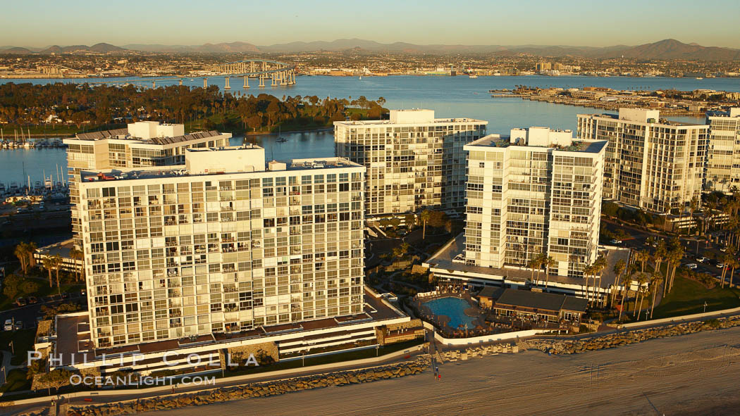
Coronado Shores, a group of 10 condominium buildings south of the Hotel Del, on the water on Coronado Island.
Image ID: 22297
Location: San Diego, California, USA
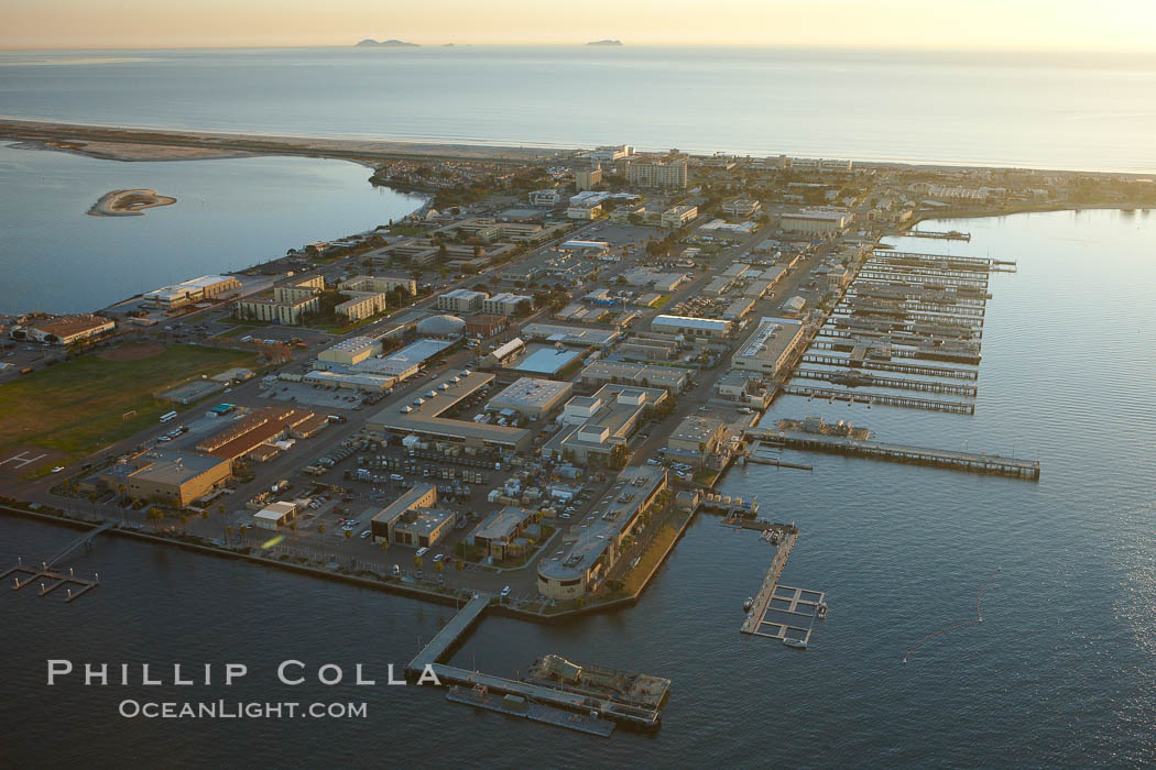
Naval Amphibious Base Coronado, situated on the Silver Strand between San Diego Bay and the Pacific Ocean, is the West Coast focal point for special and expeditionary warfare training and operations. The famous “swastika building” is seen on the southern (left) side of the base.
Image ID: 22298
Location: San Diego, California, USA
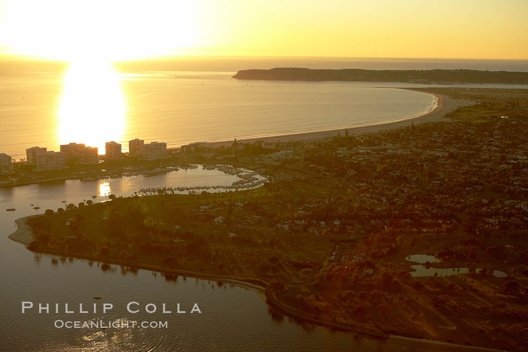
Sunset over Coronado Island and Point Loma.
Image ID: 22335
Location: San Diego, California, USA
